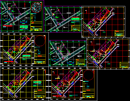
PLANO TOPOGRAFICO DE UBICACION Y LOCALIZACION Topographic plane of location
Drawing labels, details, and other text information extracted from the CAD file (Translated from Spanish):
pole, of light, pabellion b, pabellion c, mansion, auditorium, cistern room, electronic room, garden, psj. paez, av. de la policia, unfv – fau, seal and signature, professional, owner, map :, sheet :, location and location, scale :, date :, location :, jesus maria, location scheme, lima, province :, district :, department :, psje. paez, address :, nm, the utm coordinates are referred to the national ign letter, vertices, sides, coordinates utm, north, east, internal angles, property of third parties, section a-a ‘, unfv-fau, location map , ab, bc, cd, of, ef, fa, health center :, xxxxx, xxxxxx, perimeter – topographic, xxxxxxx, sports complex, housing, third party, property of, mailbox, existing, telephone pole, light post, existing sidewalk, green area, existing pavement, ground area, existing pavement, level curves, xxxx, level curves and road section, track, cut a – a ‘, road section, cut b – b’, location, indicated, xxx, av., area of the uprising, faculty :, architecture and urbanism, the excel carries this


