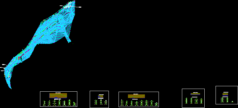
Topographic man for planning street and pedestrian paving in St. Vincent de Paul of Oroya, Junin, Peru.
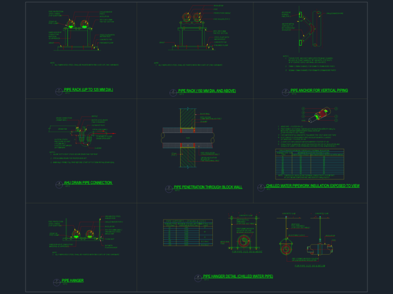
Drawing labels, details, and other text information extracted from the CAD file (Translated from Spanish):
datum elev, name, pbase, pvgrid, pegct, pfgct, pegc, pegl, pegr, pfgc, pgrid, pgridt, right, peglt, pegrt, pdgl, pdgr, xfg, xeg, xfgt, xegt, xgrid, xgridt, projectname, lavatory , apple, temple, movistar, ravine, existing park, bleachers in poor condition, cistern, water, sembrillos, roundabout, section in red line, left