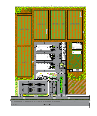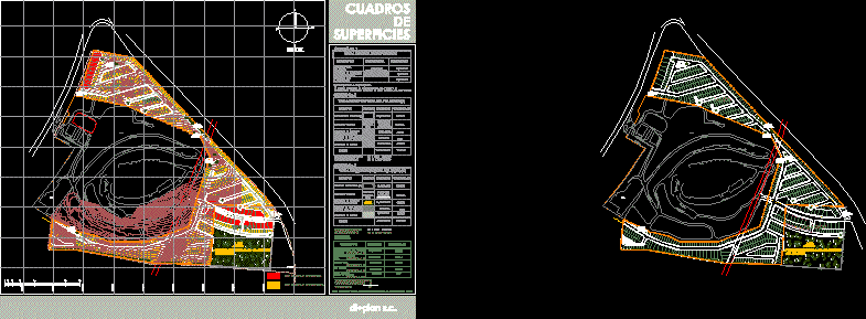
Picture surfaces of polygon
Drawing labels, details, and other text information extracted from the CAD file (Translated from Spanish):
north, street end san lucas, street careyes, street cancun, street san felipe, san felipe, street acapulco, walker, street, san carlos, cancun, street chamela, private san carlos, private san carlos, street san carlos, street service , street tenacatita, cozumel, spa, acd, eltapatio, possible agreement with owner, adjoining, common area, destined for, the income, concept, total surface, surface, simbología, of the property, restriction surface, by electric line, net surface , to develop, salable surface, area of areas, assignment to destinations, road surface, net area to be developed :, percentage, general table of surfaces, symbology, area of common area, destined for entry, non-graphic, sums, is obtained by subtracting the total area of the property and the restriction surface by passage of high voltage power line., Area for commercial use., Residential, commercial, total, summary in., zone destined to housing use, total roads, total acd, common areas, reason for entry, total area of land, merged, polygon a, polygon b, pictures, surfaces