Topography Cobahe Santiago DWG Block for AutoCAD
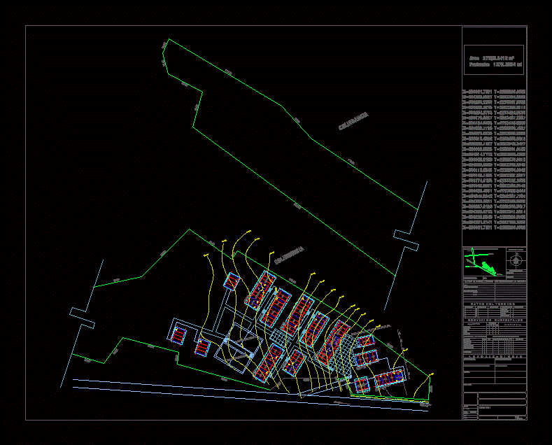
Topographic map of esuela superios obaeh
Drawing labels, details, and other text information extracted from the CAD file (Translated from Catalan):
c. Basketball, classroom, s.s., estr. t. telebach., cafeteria, dir., access, to boxaxni, red a.t. and b.t., water network, colindancia, t. of computation, lab. of languages, int., bod., audiovisual, control, school, area, administrative, library, laboratory, classroom of uses, multiple, sup.:, dominant winds, speed: direction, or r e n t a c, n, n. of rock, clay, clay, clayey, tepetty, strata, seismic zone, type of terrain, materials of the region, climate, surveys, sketches of land location in the town: existing trees., climatological data, rainfall, revision, stress, ab yes no, building, year, no. work, stages of construction, high, distance, special works: planning director :, water, telephone, drainage, electricity, restrictions., with problem :, legalized:, in process :, proceed :, built :, users :, installation: municipal services, authorizations, project director, pptos and costs: director general: situation of land, attack, date :, cobaeh, no plane, scale :, drew :, revised :, projected :, mts., coding:, dimensioning:, rural road, to santiago de anaya, to hermosillo
Raw text data extracted from CAD file:
| Language | Other |
| Drawing Type | Block |
| Category | Handbooks & Manuals |
| Additional Screenshots |
 |
| File Type | dwg |
| Materials | Other |
| Measurement Units | Metric |
| Footprint Area | |
| Building Features | |
| Tags | autocad, block, DWG, map, santiago, topographic, topography |
