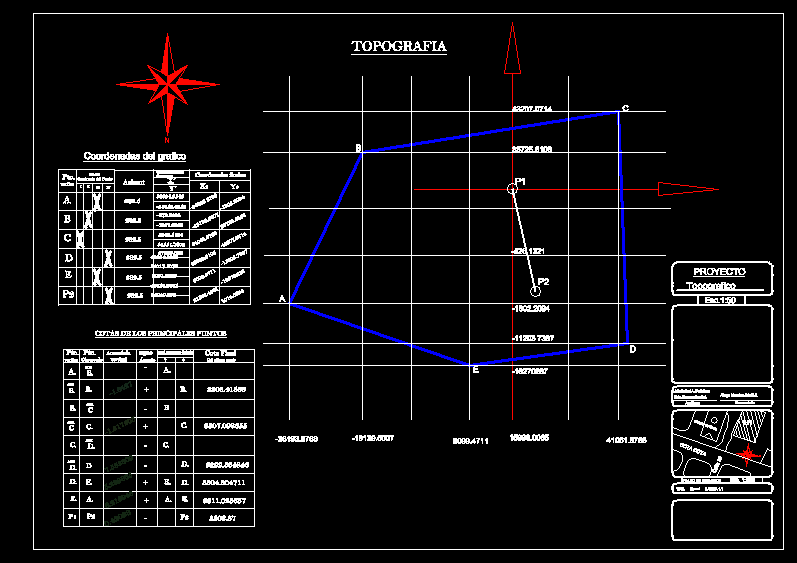
TOPOGRAPHY WORK WITH COORDINATE DATA
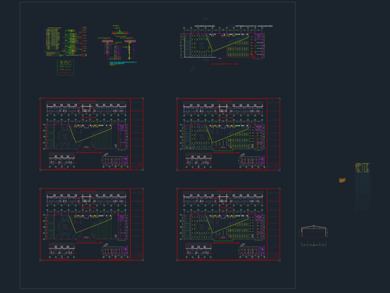
Drawing labels, details, and other text information extracted from the CAD file (Translated from Spanish):
project, topographic, univ.rafael a. peñaloza, univ. hernan condori., auxiliaries, aliaga morals adalit j., university, location map, normal, ihh, elevation level, ground field, new quadrant of the point, iii, final coordinates, coordinates with respect to the first axis, coordinates of the graph, elevation end of the last point, vertical