TOPOGRAFIA IRRIGATION is an uprising; describes the distances and how to save
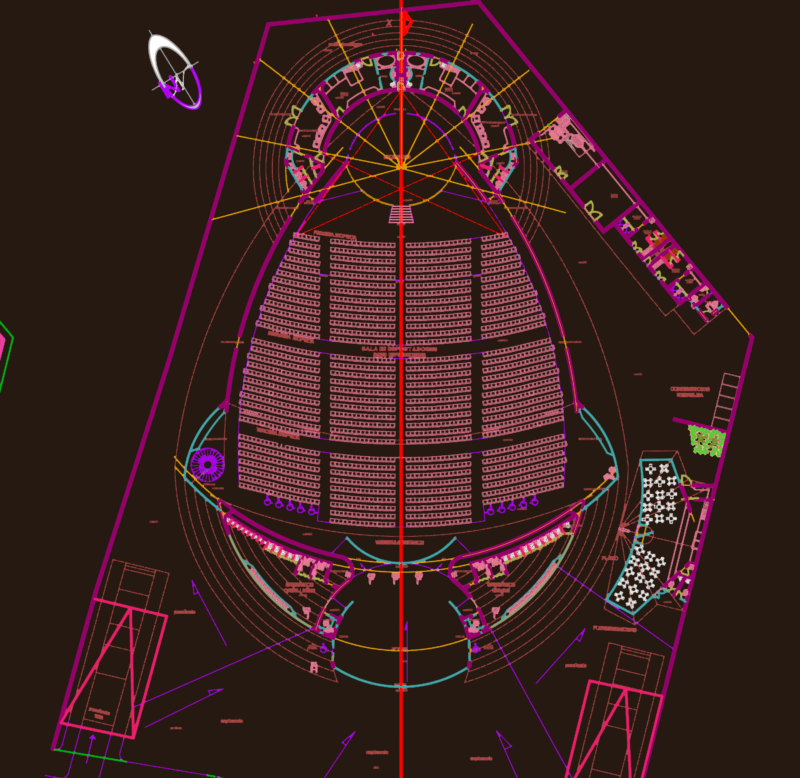
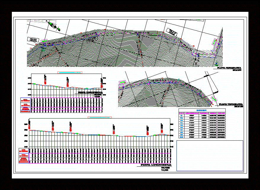
Drawing labels, details, and other text information extracted from the CAD file (Translated from Spanish):
construction box of the physical polygon irrigation area, side, distance, heading, azimuth, vert., ang.int., legend, bms, plot limit, level curve, fixed lines, hydrant, control valve, purge valve , air valve, inspection chamber, existing reservoir, irrigation head, projected reservoir, bms table, profile, terrain elevation, elevation, cutting height, progressive, pi data, pi no, deflection angle , progressive pi, east of pi, north of pi, reservoir, projected, camera, inspection, valve, air, topographical plant, longitudinal profile