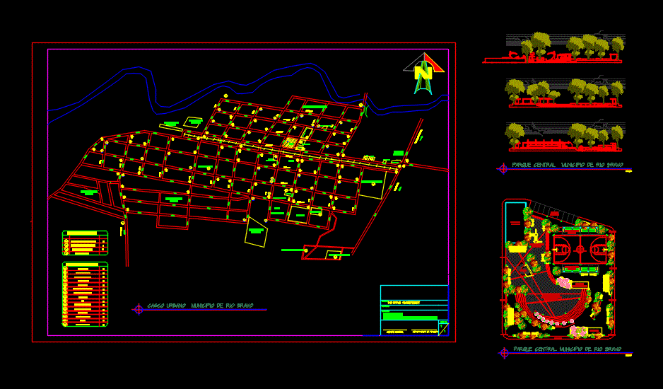
Trace Town And Central Park DWG Block for AutoCAD
Trace Urban Central Park and Rio Bravo Suchitepequez
Drawing labels, details, and other text information extracted from the CAD file (Translated from Spanish):
municipality:, draft:, content:, sheet no., river suchitepequez, casco urbano rio bravo district, restrictive signals, school zone, high double track, high one left, high one right, map townhouse, municipal mayor, transit department, cemetery, municipal hall, library, municipality, market, municipal waste, parish house, west, I studied, colony santa elena, colonia santo tomas ii, old railway station, colonia santo tomas, school for males, new cemetery, municipal waste, main entrance, current cemetery, stadium, market, Street, inebe, women, cooperative institute, Street, Bank, academy typing, post, Internet, fuel station, Street, square, municipality, back to school, parish house, c. Health, market under construction, informative signs, post, renap, clinic, narrow bridge, I studied, west, I studied, igss, renap, igss, municipal trail, macadamia packer, multipurpose court, graderios with cover, parking area, telephony antenna, playground, source, marimba area kiosk, central plaza in honor of the high, Cafeteria, ramp, entry, central park rio bravo district
Raw text data extracted from CAD file:
| Language | Spanish |
| Drawing Type | Block |
| Category | City Plans |
| Additional Screenshots |
 |
| File Type | dwg |
| Materials | |
| Measurement Units | |
| Footprint Area | |
| Building Features | Car Parking Lot, Garden / Park |
| Tags | autocad, beabsicht, block, borough level, central, DWG, park, political map, politische landkarte, proposed urban, rio, road design, stadtplanung, straßenplanung, town, trace, urban, urban design, urban plan, zoning |
