ADVERTISEMENT

ADVERTISEMENT
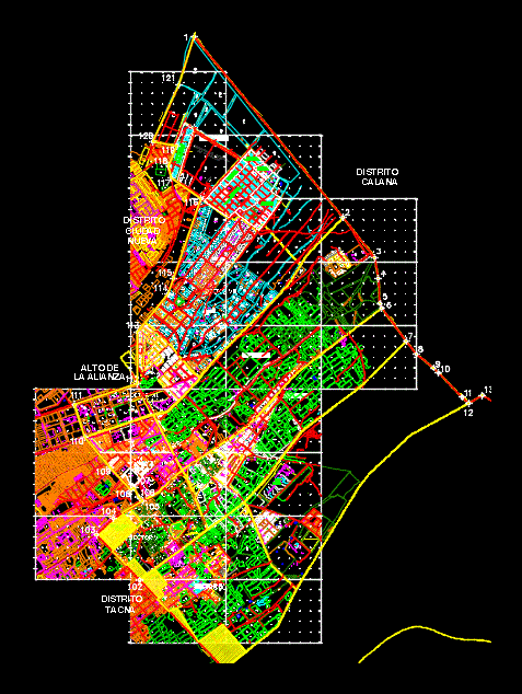
Basic Map Pocollay DWG Block for AutoCAD
DISTRICT Pocollay
Drawing labels, details, and other text information extracted from the CAD file (Translated from Spanish):
preliminary basic plan, district municipality of pocollay engineering urban planning, strengthening implementation of the municipal rural urban cadastre system of the pocollay district, June, date:, sheet:, scale:, preliminary basic plan, study, flat, observ., revisions, equipment, technical, limit study area of the urban plan, sector boundary, limit housing associations, description, symbol, legend, cadastered area, urban land, rustic property, rio cause, topographic curve, bus, n.m.
Raw text data extracted from CAD file:
| Language | Spanish |
| Drawing Type | Block |
| Category | City Plans |
| Additional Screenshots |
 |
| File Type | dwg |
| Materials | |
| Measurement Units | |
| Footprint Area | |
| Building Features | Deck / Patio, Car Parking Lot, Garden / Park |
| Tags | autocad, basic, beabsicht, block, borough level, cadastre, district, DWG, map, pocollay, political map, politische landkarte, proposed urban, road design, stadtplanung, straßenplanung, urban design, urban plan, zoning |
ADVERTISEMENT
