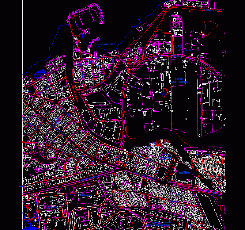
Sector Urban Plano Puerto Viejo, Catia La Mar, Edo Vargas, Venezuela DWG Plan for AutoCAD
Urban Cadastral Sector Plan Puerto Viejo, Catia la Mar, Edo. Vargas, Venezuela.
Drawing labels, details, and other text information extracted from the CAD file (Translated from Spanish):
old Port, broken tacagua, avenida atlantida, Street, avenue paramacuto, atlantida, Street, urb., Street, sailing school, avenue tacagua, nautical club avenue, caribbean avenue, firefighters, Street, fifth, Street, avenue the army, Street, avenue carlos soublette, tacagua, avenue la armada, avenue, naval training center, cnel.felipe santiago esteves, Paez, naval hospital, Paez, avenue paez, urb., neighborhood, tacagua, qda., black street first, avenue tacagua, Street, ravine, snow cesar, stadium, snow cesar, neighborhood, civil head, catia the sea, market, av. ppal. from puerto viejo, fourth street, third street, second street, first Street, urb., beach puerto viejo, lighthouse, avenue the beach, calera tip, big, beautiful horizon, sector, big beach, avenue, urb., Beach, street ppal. retirement, central Street
Raw text data extracted from CAD file:
| Language | Spanish |
| Drawing Type | Plan |
| Category | City Plans |
| Additional Screenshots | Missing Attachment |
| File Type | dwg |
| Materials | |
| Measurement Units | |
| Footprint Area | |
| Building Features | Car Parking Lot |
| Tags | autocad, beabsicht, borough level, cadastral, cadastre, DWG, edo, la, mar, plan, plano, political map, politische landkarte, proposed urban, puerto, road design, sector, stadtplanung, straßenplanung, urban, urban design, urban plan, vargas, Venezuela, zoning |
