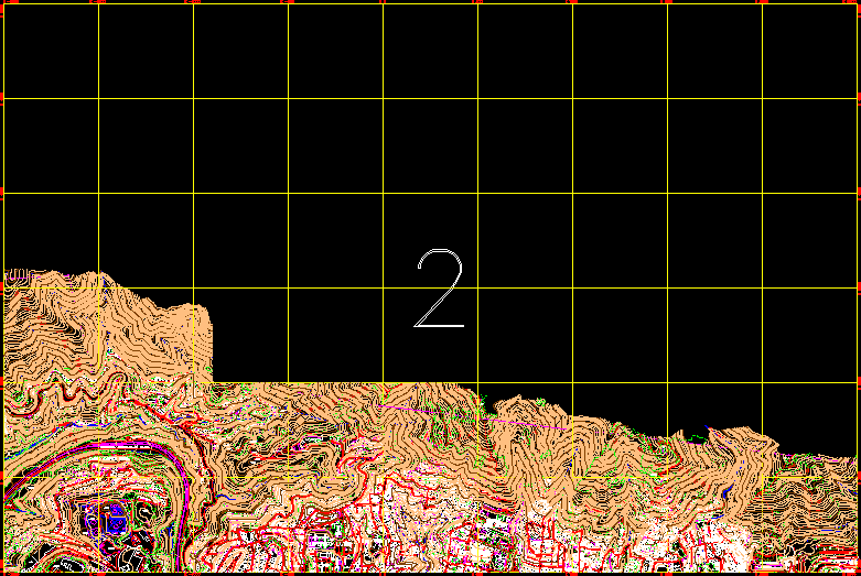
Caracas Plane; Venezuela 2 Of 17 DWG Block for AutoCAD
Caracas plane; Venezuela; by sectors. Include topography. Plane 2 of 17
Drawing labels, details, and other text information extracted from the CAD file (Translated from Spanish):
antenna, cjon the Alps, guaira, freeway, Caracas, caretaker, old woman, guaira, Street, cho, rro, main Street, Street, aconi, param, from sucre, Street, antonio, street tacagua, street square, street the cross, Street, bolivar, simon, Spanish, Street, rupert, lugo, p.acueducto, the hill, c.real high, view, Italy, c.the club, riga, tank, c.el, rupert, lugo, Street, c.s. Andrew, Street, c. real, of the, friars, look, pain, c.el carmen, c. Ranch, big, cujicitos, c. coromoto, high, lidice, old, Spanish people, the, c. the tanks, c. Marine, c.real of the rockers, c.la take, neighborhood federico quiroz, neighborhood high vista, neighborhood of cutira, neighborhood los frailes, neighborhood, simon rodriguez, neighborhood, tops of lidice, neighborhood, waste, neighborhood, the millo, the rockers, neighborhood, the range, sector, blandin, urb. ruperto lugo, qda., saint, ben, qda., catuche, Sucre, neighborhood, the towers, neighborhood, the cardon, c.j.m.vargas, qda., tacagua, dr. jesus yerena, hospital
Raw text data extracted from CAD file:
| Language | Spanish |
| Drawing Type | Block |
| Category | City Plans |
| Additional Screenshots | |
| File Type | dwg |
| Materials | |
| Measurement Units | |
| Footprint Area | |
| Building Features | Car Parking Lot |
| Tags | autocad, beabsicht, block, borough level, caracas, DWG, include, plane, political map, politische landkarte, proposed urban, road design, sectors, stadtplanung, straßenplanung, topography, urban design, urban plan, urban trace, Venezuela, zoning |
