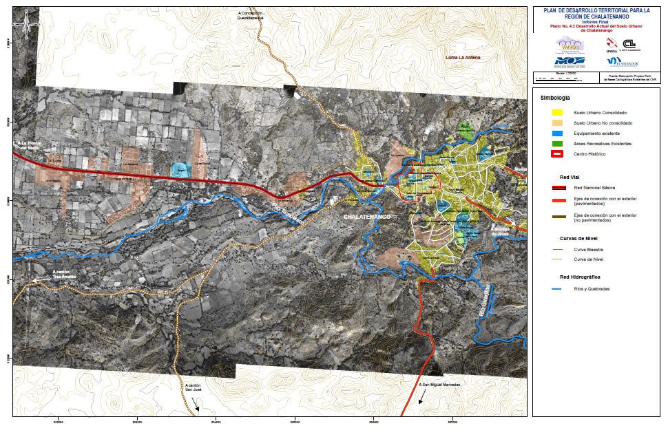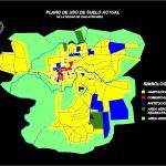
Salvador Chalatenago DWG Block for AutoCAD
Map land uses
Drawing labels, details, and other text information extracted from the CAD file (Translated from Spanish):
Canton Caserio el Chuptal the terrero, San Jose neighborhood, colonia veracruz, The bells, beautiful view cologne, colonia the breezes, neighborhood el calvario, neighborhood street, the lenca jewel, plan of the town of chalatenango, west street, north avenue, street morazan, avenue fajardo, north avenue, street east, liberty avenue, street east, pje jose n. garcia, south avenue, west street, san martin street, sunset, street jose palacios peña, san martin street, west street, south avenue, north avenue, west street, south avenue, north avenue, west street, avenue luciano moralez, avenue fajardo, north avenue, Calvary Passage, street morazan, south avenue, the turns, south avenue, street east, broken gualchoco, guarjila, street east, south avenue, San Salvador, north avenue, current floor plan of the city of chalatenango, symbology, housing, commercial, institutional, green recreational area, green area
Raw text data extracted from CAD file:
| Language | Spanish |
| Drawing Type | Block |
| Category | City Plans |
| Additional Screenshots |
  |
| File Type | dwg |
| Materials | |
| Measurement Units | |
| Footprint Area | |
| Building Features | |
| Tags | autocad, beabsicht, block, borough level, DWG, land, map, political map, politische landkarte, proposed urban, road design, salvador, stadtplanung, straßenplanung, urban design, urban plan, zoning |
