UrbanizatiÓN DWG Block for AutoCAD
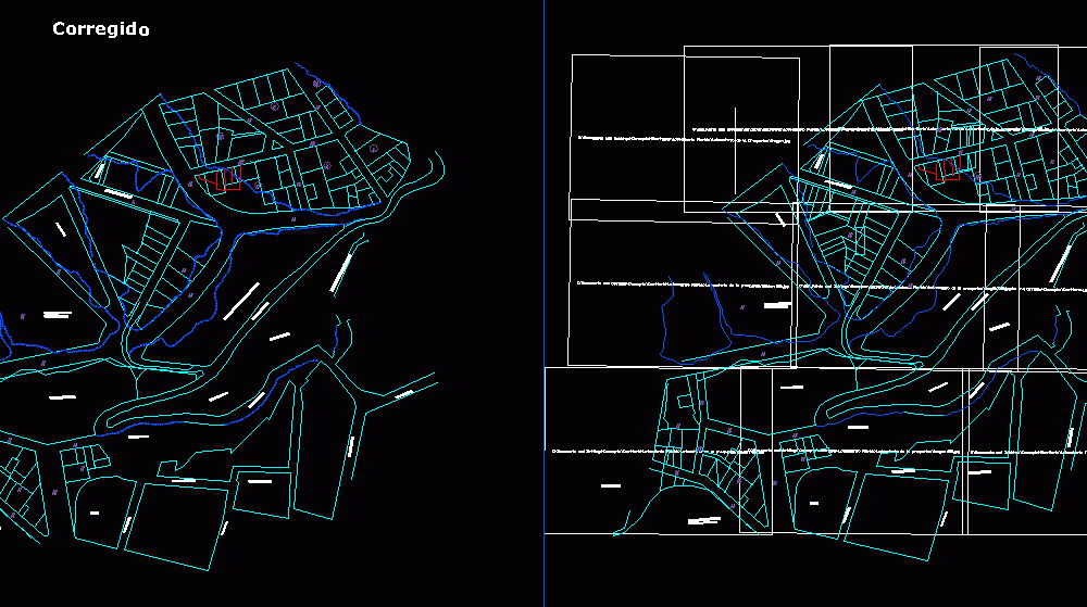
SUBDIVISION OF de SUCRE
Drawing labels, details, and other text information extracted from the CAD file (Translated from Spanish):
I walk and I walk, exit and stand, I walk and I walk, built-up area, direct descent for pedestrians, I walk and I walk, land occupied by manuel nava, popular college sports field, green area, street bustillos, I walk and I walk, linares street, big turn street, jail, Street Bolivar, I walk and I walk, street perez, built-up area, municipal air, Flag Inappropriate Content, green area, I walk and I walk, exit and stand, land occupied by peasants, built-up area, direct descent for pedestrians, huerta prosperina, land occupied by manuel nava, popular college sports field, green area, street bustillos, I walk and I walk, linares street, big turn street, jail, Street Bolivar, I walk and I walk, street perez, built-up area, municipal air, Flag Inappropriate Content, green area, corrected
Raw text data extracted from CAD file:
| Language | Spanish |
| Drawing Type | Block |
| Category | City Plans |
| Additional Screenshots |
 |
| File Type | dwg |
| Materials | |
| Measurement Units | |
| Footprint Area | |
| Building Features | Car Parking Lot |
| Tags | autocad, beabsicht, block, borough level, de, DWG, political map, politische landkarte, proposed urban, road design, stadtplanung, straßenplanung, subdivision, sucre, urban design, urban plan, zoning |
