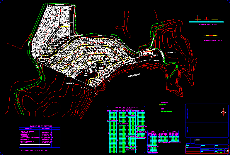
Beachfront Subdivision, San Fernando, Mexico DWG Block for AutoCAD
FRACTIONATION Beachfront
Drawing labels, details, and other text information extracted from the CAD file (Translated from Spanish):
F. s., by batch, green area, total lots, surface box, commercial, condom, total sup. salable, donation area, roads, housing, concept, sup salable, surface, drawing:, project coordinator:, services, walkers, mzna., do not., commercial, surface, mzna., do not., surface, do not., lot, do not., lot, do not., mzna., lot, do not., mzna., surface, do not., surface, lot, do not., mzna., condom, surface, lot, do not., donation, area, do not., do not., surface, area, lot, mzna., do not., do not., surface, lot, area, mzna., of donation of mts. to services, all lots will have an area, note, Service area, development, symbology, April, donation area, acapulco, fraction, federal limit, commercial area, ixtapa, Santa Teresa, condominium area, area, tank, Saint George, walker, San Francisco, san fernando, closed san fernando, walker, walker, walker, closed san fernando, green area, bondage road the beach, san fernando, Pacific Ocean, surface box, san antonio, condominium area, donation area, commercial area, way of, clubhouse area, fishermen, fraction, access, section of street to ‘, section of street b ‘, seals, proficient:, draft:, date:, scale:, owner:, draft:, Location:, key:, e-mail, location, F. s., service hall
Raw text data extracted from CAD file:
| Language | Spanish |
| Drawing Type | Block |
| Category | City Plans |
| Additional Screenshots |
 |
| File Type | dwg |
| Materials | |
| Measurement Units | |
| Footprint Area | |
| Building Features | Car Parking Lot |
| Tags | autocad, beabsicht, block, borough level, DWG, fractionation, mexico, political map, politische landkarte, proposed urban, road design, san, stadtplanung, straßenplanung, subdivision, urban design, urban plan, zoning |
