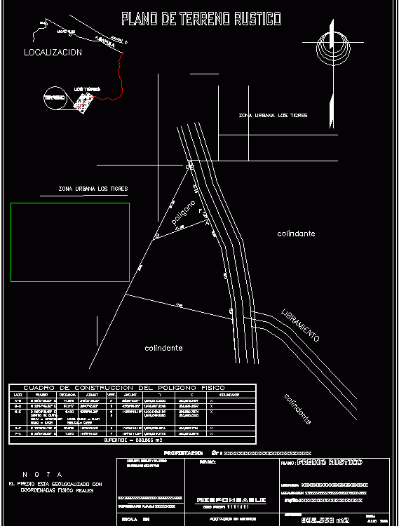
Topographic Map Type DWG Block for AutoCAD
Map Topographical tam format. letter with survey data from total station designed in autocad and Civilcad with box construction
Drawing labels, details, and other text information extracted from the CAD file (Translated from Spanish):
Frame of construction of the physical polygon, side, distance, course, azimuth, Vert., Ang.int., adjacent, Center of curve, delta, Long curve, radio, surface, Sr xxxxxxxxxxxxxxxxxxxxxxxx, Rustic property, Xxxxxxxxxxxxxxxxxxxxx, revised:, Metering in meters, without, scale, owner:, July, surface, flat, Location:, Drawing calculation, Xxxxxxxxxxxxxxxxxxxxxxxxxxxxx, Marcelino mtz ctras, location, Xxxxxxxxxxxxxxxxxxxxxxxxxxx, Mpio.xxxxxxxxxxxxxxxxxxxx, responsable, Ced prof:, Topographer r.f.c .: xxxxxxxxx, location, The property is geolocated with, Real physical coordinates, date, Acayucan, J.rguez clara, island, the Tigers, Sayula, ground, Release, adjacent, polygon, Tigers urban area, Rustic ground plan, Tigers urban area
Raw text data extracted from CAD file:
| Language | Spanish |
| Drawing Type | Block |
| Category | Drawing with Autocad |
| Additional Screenshots | |
| File Type | dwg |
| Materials | |
| Measurement Units | |
| Footprint Area | |
| Building Features | |
| Tags | autocad, block, data, designed, DWG, format, letter, location, map, Station, survey, topographic, topographical, topography, total, type |
