ADVERTISEMENT

ADVERTISEMENT
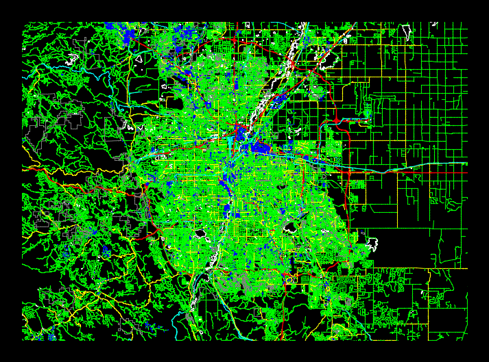
City Map Denver DWG Block for AutoCAD
City Map of Denver. With streets; buildings; green areas. Compatible with Autocad dxf format; Rhino and Revit.
| Language | Other |
| Drawing Type | Block |
| Category | City Plans |
| Additional Screenshots | |
| File Type | dwg |
| Materials | |
| Measurement Units | Metric |
| Footprint Area | |
| Building Features | |
| Tags | areas, autocad, beabsicht, block, borough level, buildings, city, city plan, DWG, green, map, planning, political map, politische landkarte, proposed urban, road design, stadtplanung, straßenplanung, streets, urban design, urban plan, zoning |
ADVERTISEMENT
