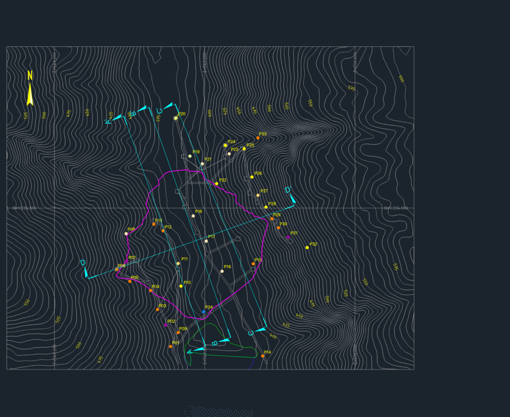
Geological mapping plan showing site contours, survey points P01-P34, & section markers A-A’ thru D-D’. Includes technical data on soil/rock types like arenite, diabase, and metavolcanics for a reservoir and dam project. Units in meters, UTM SAD69 system, etc. Drawing in Portuguese (Mapeamento Geológico-Geotécnico).
Geological-Geotechnical Mapping Plan for Dam Foundation and Reservoir