
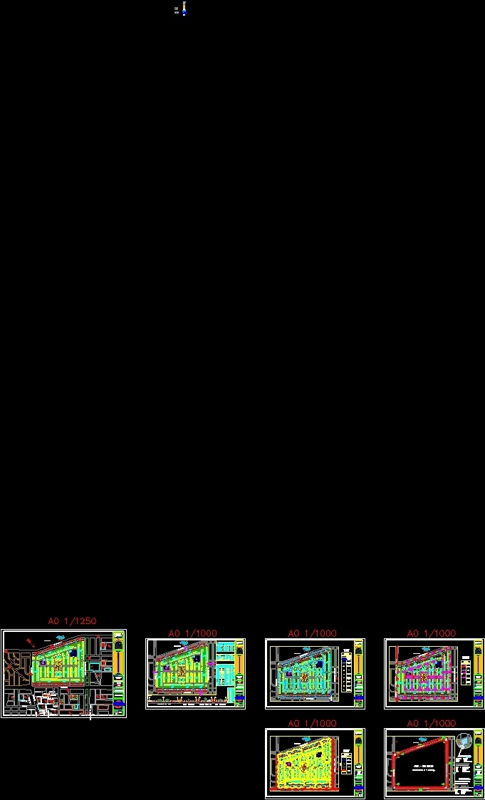
Habilitacion Urbana En Trujillo DWG Block for AutoCAD
Es una Habilitacion que genera confort; registros visuales agradables empleando la naturaleza y que de esta misma manera este relacionada con la persona humana
Drawing labels, details, and other text information extracted from the CAD file (Translated from Spanish):
specialty:, trujillo, department:, architecture, victor larco herrera, freedom, faculty of architecture, name of the project:, province:, district:, arq. raul nuñez vilchez, arq. cesar hike collantes, teachers:, pedro orbegoso zavala, student:, date :, scale :, lamina:, l.p., o.u, v.r.h. from the tower, av. Huaman Street, Av. antenor orrego, urban planning, av. Juan Pablo II, Av. v.r.h. of the tower, limit safety zone, lateral line, bottom line, passage, summary table of apples, lots, partial area, irregular, regular, apples, —, ——-, total area, – ——-, ————-, ————, total, description, area of contributions, area of roads, general picture of areas, percentage, road cuts, area, concentrated, habilitation, urban, potable water pipe network main reservoir, nomenclature, potable water pipeline, gate valve, drinking water intact, caption, map :, general network of drinking water, sedalib matrix network, tee, terminal valve with stopper, irrigation tap, fire-fighting tap, connection of unconnected pipes, general sewer network, mailbox networks, mailbox, start-up mailbox, sewer intake, starter box, collector public – sedalib, network of electrical installations, transformer box, high voltage, poles, electrical inatalacion, cables, reservoir, according to the rne, contribution box, education, recreation cion publica, other uses, concentrated area, according to the rating, comparative table, background sink, location and location, location map, department: liberty province: trujillo district: victor larco herrera located south west of the historic center of the city from north trujillo: agricultural land south: social liberation east: the flowers west: agricultural land, location plan, immediate urban environment, zhr – m
Raw text data extracted from CAD file:
| Language | Spanish |
| Drawing Type | Block |
| Category | City Plans |
| Additional Screenshots |
 |
| File Type | dwg |
| Materials | Other |
| Measurement Units | Metric |
| Footprint Area | |
| Building Features | |
| Tags | autocad, beabsicht, block, borough level, DWG, en, es, la, political map, politische landkarte, proposed urban, road design, stadtplanung, straßenplanung, trujillo, una, urban design, urban plan, urbana, zoning |