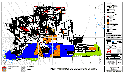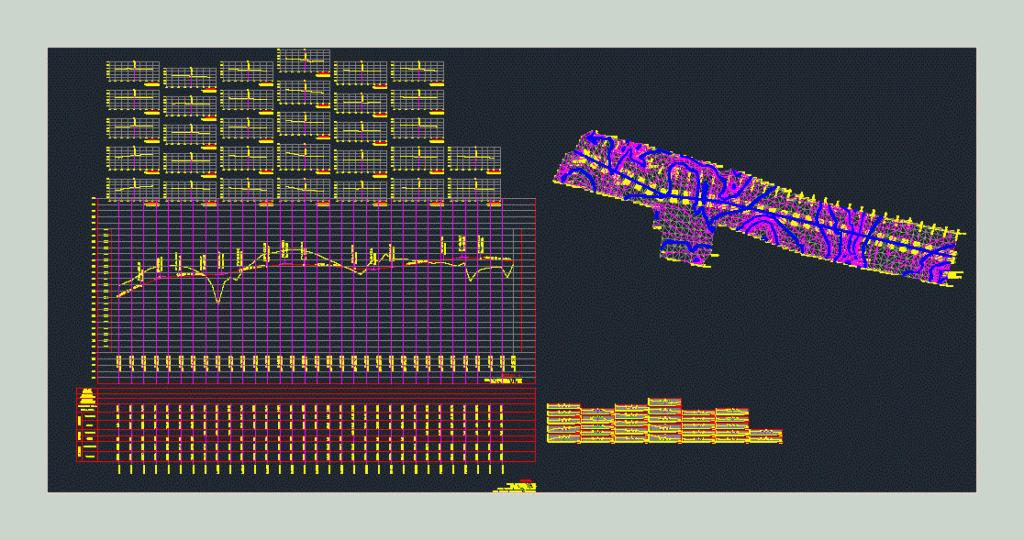
topographic Leveling; level; calculation of high points and low points (high and low terrain). Transversal sections
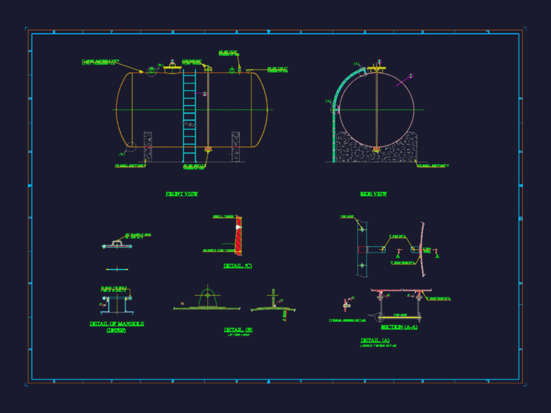
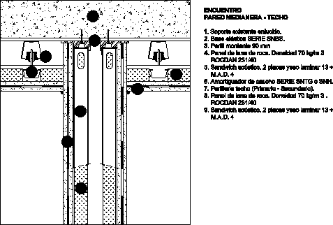
Drawing labels, details, and other text information extracted from the CAD file (Translated from Spanish):
fence, slide, gap, type of, material, factor, abundance, compaction, ordinates of the, curve, mass, terraple, cut, subgrade, terrain, volume, thickness, elevation, profile