Leveling Topographic DWG Block for AutoCAD

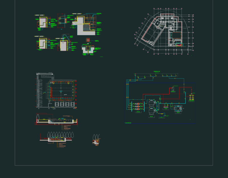
Is a work of topographic leveling method

Drawing labels, details, and other text information extracted from the CAD file (Translated from Spanish):

n.m., topography i, date:, leveling from one end to another, faculty, civil engineering, perimeter fence of uncp, double point of change, composite leveling

Raw text data extracted from CAD file:

FREE

File Details

File Type
DWG
Type
Block
Language
Spanish
Materials
Other
Units
Metric
Uploaded by
Plans_Designs
Category
Handbooks & Manuals
Published
Dec 9, 2017

Download faster, ad-free, with more daily files from $7/mo

Browse All Downloads