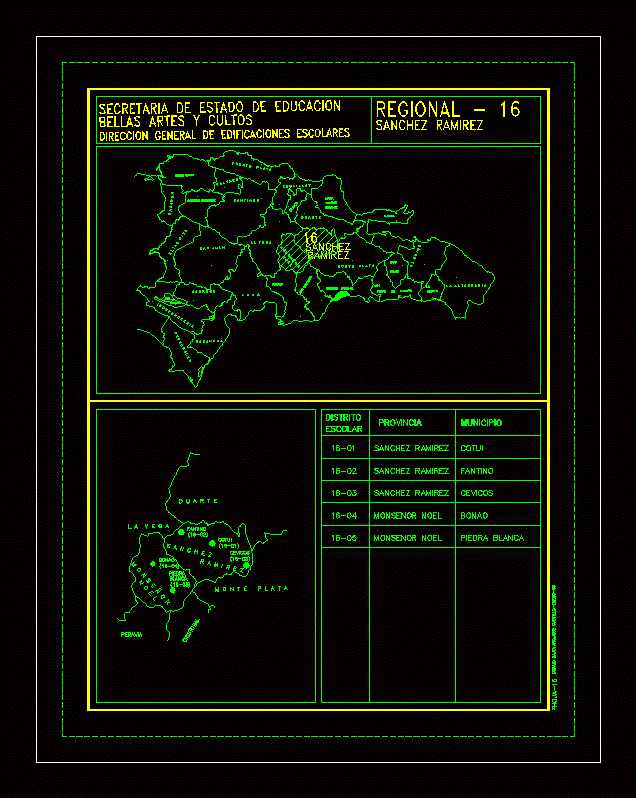
Map Cotui Province; Dominican Republic.
Drawing labels, details, and other text information extracted from the CAD file (Translated from Catalan):
sanchez, stone, white, bonao, noel, peravia, monsenor, monteplata, cevicos, cristobal, ramirez, ramirez, sanchez, trinidad, district, school, flags, duarte, lavega, fantino, cotui, mont cristi, independencia, eliaspina, lago enrique, daniel, azua, baoruco, barahona, san, puertoplata, valverde, santiago, santiago, sanjuan, rodriguez, maria, salcedo, espaillat, municipality, white stone, sanchez ramirez, monsenor noel, pedro de macoris, national, roman, laaltagracia, samana, secretary of state of education, general direction of school buildings, fine arts and cults