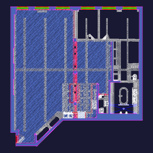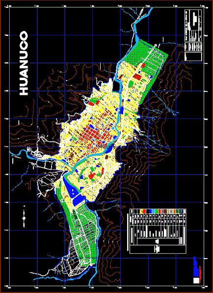
Is a master plan plane, with proper zoning according to their land use, equipment, etc., is a complete map of the city of Huanuco including the lagoon Villa del Rio; Tingo bridge, bridge Calicanto; and the majestic river Huallaga
Drawing labels, details, and other text information extracted from the CAD file (Translated from Spanish):
urban, development, national institute, ministry of transport communications, housing and construction, Lima, r i o h i g u e r a, r i o h i g u e r a s, cundibamba, cabritopampa, c.c. pilcomozo, facilities, huanuco, drinking water, tingo, marabamba, riohuallaga, cayhuayna, university, paucarbambilla, aparicio pomares, riojancao, a tingo maria, miraflores, airport, regional road, hope, san roque, huayopampa, fundo zevallos, llicua , esep agricola, cap aparicio pomares, riohuallaga, riohuallaga, san luis, paucarbamba, las moras, district:, drawing :, approved by, lma, date :, province:, region:, plan city director, reviews, observations, source:, plan :, cap, arq. beatriz sologuren, luzmila temple condeso, inadur, technical director, mayor, arq. jose muñoz gurmendi, arch. olga lozano cortijo, coord.de projects, project manager