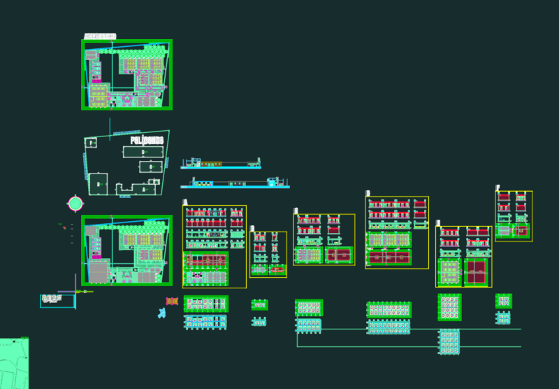
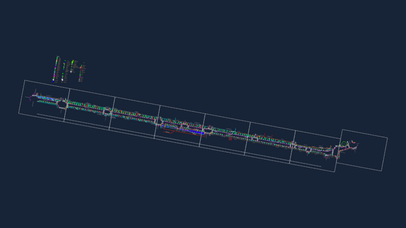
Topographic survey and cadastral layout for lots in Canton de Potton incl. LIDAR-derived contours, lot boundaries & road alignments. coords referenced to SCOPQ zone 7.
Mercier Meunier Topographic Survey and Cadastral Plan (Canton de Potton)
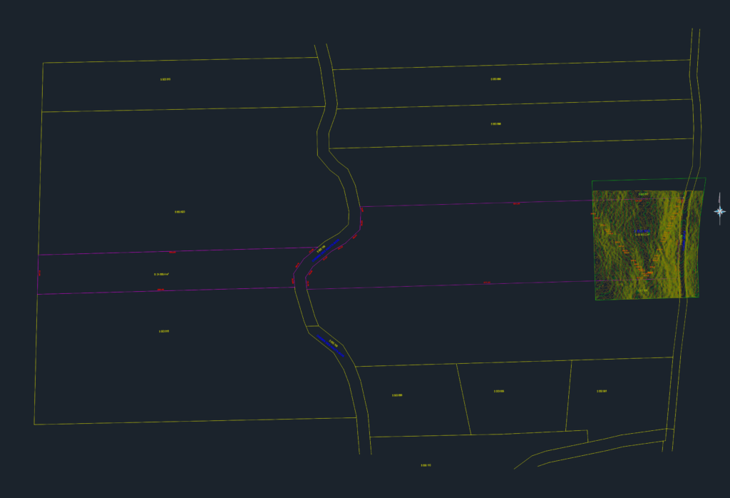
Topographic survey and cadastral layout for lots in Canton de Potton incl. LIDAR-derived contours, lot boundaries & road alignments. coords referenced to SCOPQ zone 7.