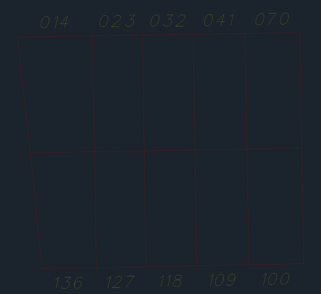
Municipal land registry & urban survey for Montes Claros, Brazil. Shows lot divisions, street numbers (Rua 13, 16, 17), and cadastral data from the city hall.. Includes block IDs and property lines. Cadastro Técnico Municipal de Montes Claros.
Municipal Land Registry Map showing Street Grid and Lots