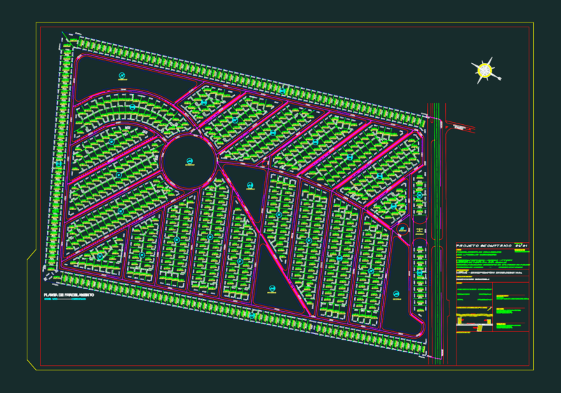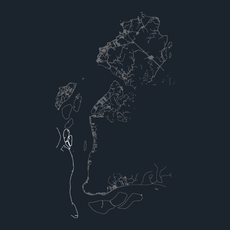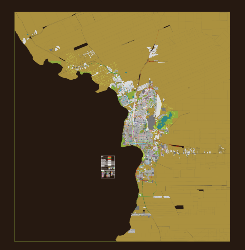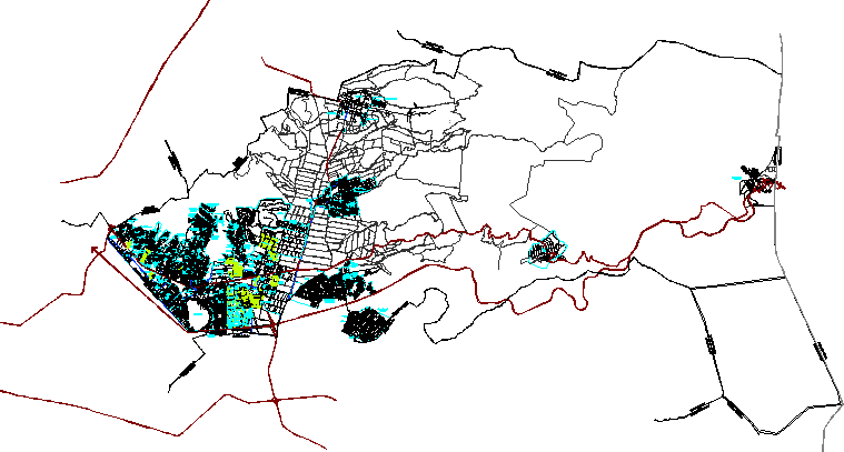
Urban design municipality of Ixtapaluca – Mexico State – Division by colonies
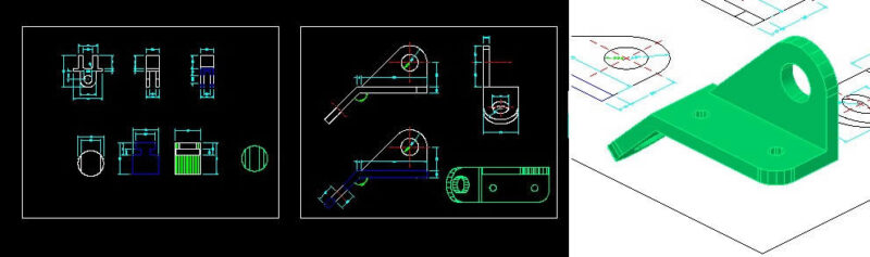
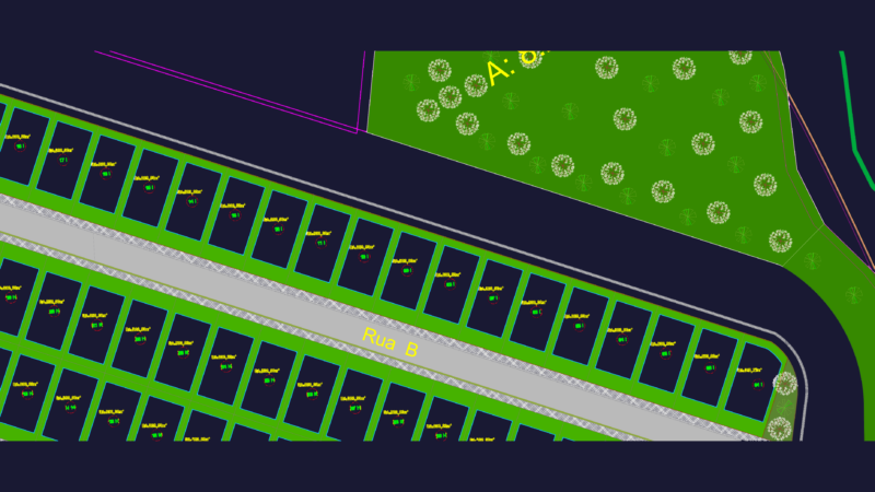
Drawing labels, details, and other text information extracted from the CAD file (Translated from Spanish):
ixtapaluca, official numbering program, ixtapaluca, Municipality of, sector nomenclature plan, graphic scale, date:, March, key:, tlapacoya delegation, Danger zone, zone boundary, runoff, body of water, River, channel, Level curve, duct, primary road, regional road, urban trace, state limit, municipal boundary, railroad track, Powerline, basic symbology:, localization map, plan that forms an integral part of sectorization program approved by h. in second session of this program does not nor nor prejudge uses of neither opening of ways, ixtapaluca, official numbering program, ixtapaluca, Municipality of, sector nomenclature plan, graphic scale, date:, March, key:, san francisco acuautla, Danger zone, zone boundary, runoff, body of water, River, channel, Level curve, duct, primary road, regional road, urban trace, state limit, municipal boundary, railroad track, Powerline, basic symbology:, localization map, plan that forms an integral part of sectorization program approved by h. in second session of this program does not nor nor prejudge uses of neither opening of ways, ixtapaluca, official numbering program, ixtapaluca, Municipality of, sector nomenclature plan, graphic scale, date:, March, key:, cold river, Danger zone, zone boundary, runoff, body of water, River, channel, Level curve, duct, primary road, regional road, urban trace, state limit, municipal boundary, railroad track, Powerline, basic symbology:, localization map, plan that forms an integral part of sectorization program approved by h. in second session of this program does not nor nor prejudge uses of neither opening of ways, ixtapaluca, official numbering program, ixtapaluca, Municipality of, sector nomenclature plan, graphic scale, date:, March, key:, ixtapaluca north municipal seat, Danger zone, zone boundary, runoff, body of water, River, channel, Level curve, duct, primary road, regional road, urban trace, state limit, municipal boundary, railroad track, Powerline, basic symbology:, localization map, plan that forms an integral part of sectorization program approved by h. in second session of this program does not nor nor prejudge uses of neither opening of ways, ixtapaluca, official numbering program, ixtapaluca, Municipality of, sector nomenclature plan, graphic scale, date:, March, key:, welcome, Danger zone, zone boundary, runoff, body of water, River, channel, Level curve, duct, primary road, regional road, urban trace, state limit, municipal boundary, railroad track, Powerline, basic symbology:, localization map, plan that forms an integral part of sectorization program approved by h. in session