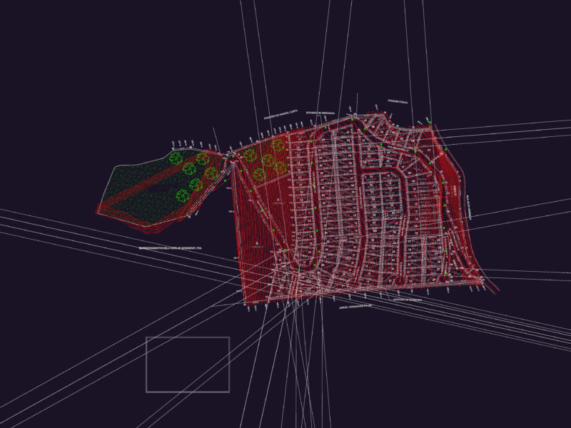
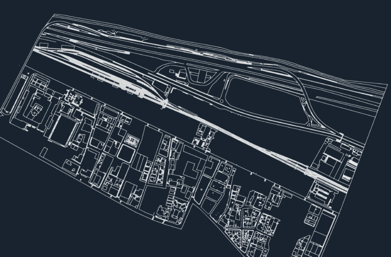
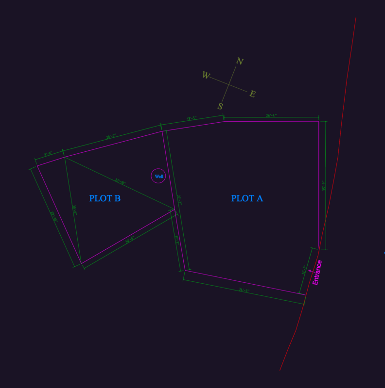
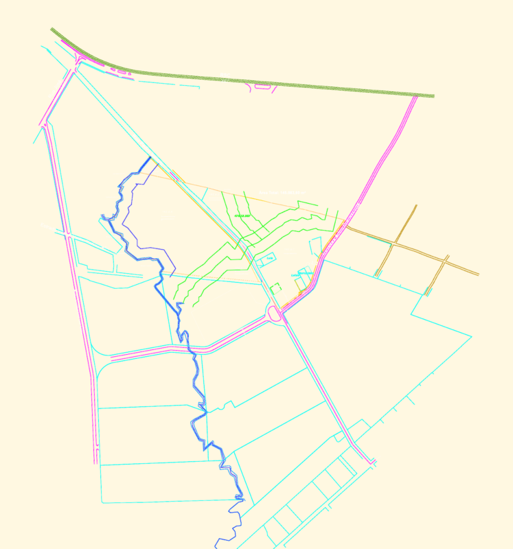
Urban plan of Odessa, Ukraine, provided as a DXF vector map. The drawing includes primary and secondary road networks, building footprints, and designated green areas across the metropolitan region. It shows the coastal boundary along the Black Sea alongside the inland grid and street layouts.
Vector layers differentiate between street hierarchies, high-density urban zones, and open landscape areas. This file is usable for regional site analysis, infrastructure planning, and large-scale urban design. Stadtplanung Odessa.