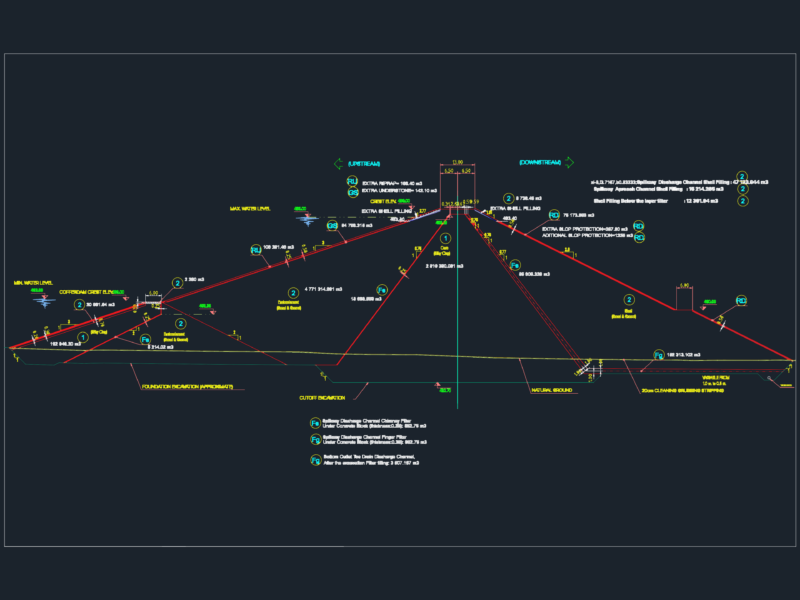
Contours – profiles
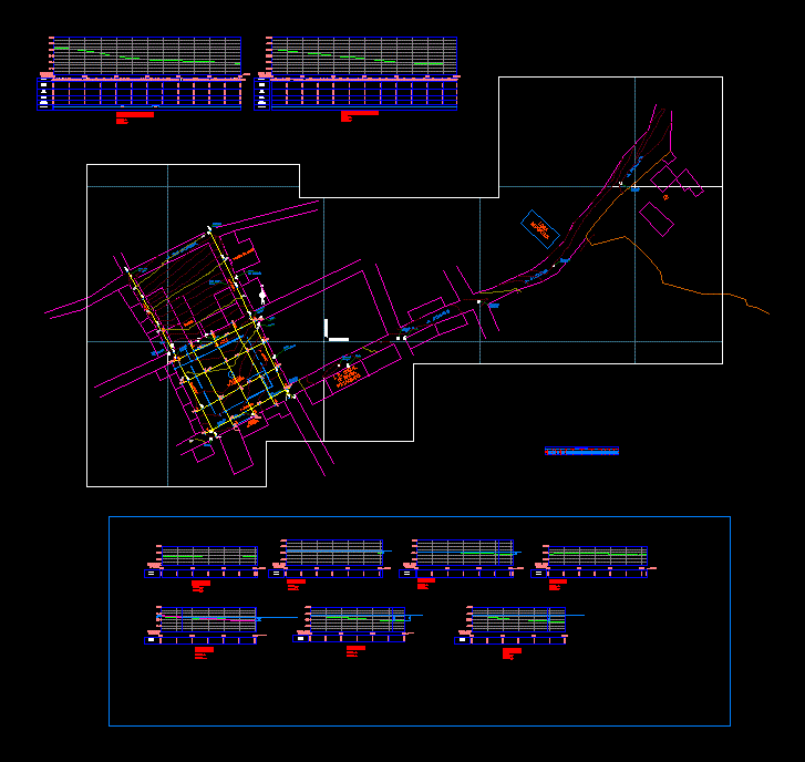
Drawing labels, details, and other text information extracted from the CAD file (Translated from Spanish):
location:, populated center annex cunya, dpto :, prov :, ayacucho, plane :, scale :, date :, plane no., drawing :, dist :, laramate, project :, plant, creation of tracks and paths in the shreds cahuide, san antonio, huancané and manuel mamani reyes, district of quilcapuncu, province of san antonio de putina – puno, approved :, design :, lepy, lucanas, nm, prolongation moises galimidi, pasaje los angeles. DC. de laramate, passage channel c.c. de laramate, alamacen, pavilion ii, pavilion i, greenhouse, nursery, pharmacy, post, pool of water, stable, ss.hh, adove wall, church, municipal agency, jr. toril, av. san antonio de padua, jr. calvary, jr. fransisco pizarro, i. and. initial cunya, water register box, jr. ayacucho, jr. calvary, jr. Lima, jr. arequipa, jr. san cristobal, mailbox de desague, poste con luminaria, perfil_jr. calvary, profile_jr. arequipa, corte_a-a, corte_b-b, corte_c-c, slope, terrain elevation, elevation, cut height, fill height, alignment, curve elements table, curve, radius, tangent, long. curve, direction, coord. pc, coord pi, coord. pt, km pc, km pi, km pt, populated center annex patachana, plazuela populated center – patachana