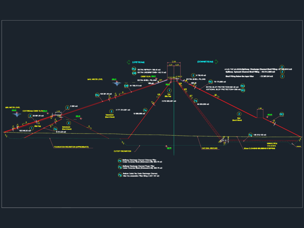
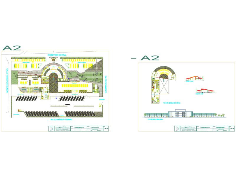
Typical cross-section for an earthfill dam with a silty clay core and sand/gravel shell. I’ve included the upstream and downstream slopes with crest elev. at 498.00 and max water level at 495.00. Drawing covers specific embankment zones, volume calcs for shell fill, finger filters, and riprap protection. Shows foundation excavation (approx.), cutoff excavation, and the 20cm cleaning/grubbing/stripping layer. Includes toe drain, spillway discharge channel chimney filter, and slope protection details. Good starting point for hydraulic or civil infra projects involving large scale earthworks. All volumes are listed in m3
Earthfill dam cross-section with silty clay core and sand-gravel shell