IMPROVING IRRIGATION SYSTEM
Drawing labels, details, and other text information extracted from the CAD file (Translated from Spanish):
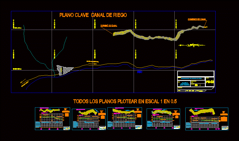
magnetic, prog, height of, filling, cutting, level, height, ground, p.i., direction, angle, radius, tangent, external, length, p.c., p.t., progressive, read, curve, elements of curves, c. geometric, hydraulic characteristics, from, to, adim, hydraulic and geometric characteristics, profile of the projected channel, improvement of the irrigation system, lima, regional government, infrastructure, regional management, main channel, topographic, plant and, rising sun, cip no:, reviewed by :, project :, plane :, location :, ing. responsible:, district: huaral, ing. jesus camargo veliz, region: lima, province: huaral, indicated, scale:, jalmora, design:, date:, province: oyon, district: cochamarca, natural terrain profile, height of fill, height of cut, height of razante, level of terrain, type of terrain, slope, comes canal, province:, region:, district:, esc: referential, towards cochamarca, towards huacho, river, key plane irrigation channel, beginning of channel, end of channel