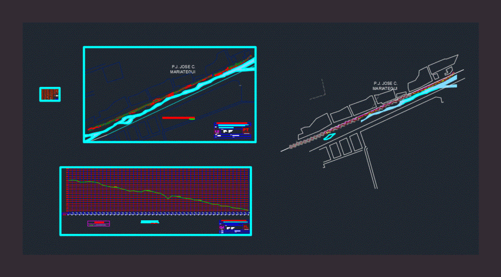
TOPOGRAPHIC SURVEY FOR A BOULEVARD IN NAZCA
Drawing labels, details, and other text information extracted from the CAD file (Translated from Spanish):
ceren, urb. sta., isabel, mz d, mz c, mz e, mz f, mz g, oval, pnp, entel peru, mz a, mz b, c l a v e, date :, project :, scale :, no. of plane, location :, department: ica, plane:, revised:, district: llipata, province: palpa, cad :, land line, legend, p.j. jose c., mariategui, date :, department: ica, district: llipata, province: palpa, scale: topographic map, no. deplano, terrain, progressive, b.a.h, xxxxxxxxxxxxxxxxxxxxxxxxxxxxxxxxxxxxxxxxxxxxxxxxxxxxxxxxxxxxxxxxxxxxxxxxxxxxxxxxxxxxxxxxx, path, edge track start slope, top slope, no river points are taken