ADVERTISEMENT

ADVERTISEMENT
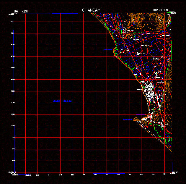
Sheet 24i – Iv – Ne125000 DWG Detail for AutoCAD
Sheet 24i – iv – ne Chancay National Charter of Peru at 1: 25; 000 in detail of the topography; localities and roads.
Drawing labels, details, and other text information extracted from the CAD file (Translated from Spanish):
punta casonal, puertochancay, punta chancay, acequia, pacific ocean, calera, south laure, north laure, monte chiquito, the cortijo, pelavillo, chacarilla, santa rosa, panamericana highway, gallegos, the jewel, torre blanca, quepe pampa, pampa libre , laure, chancay
Raw text data extracted from CAD file:
| Language | Spanish |
| Drawing Type | Detail |
| Category | City Plans |
| Additional Screenshots |
 |
| File Type | dwg |
| Materials | Other |
| Measurement Units | Metric |
| Footprint Area | |
| Building Features | |
| Tags | autocad, beabsicht, borough level, charter, DETAIL, DWG, iv, national, PERU, political map, politische landkarte, proposed urban, road design, sheet, stadtplanung, straßenplanung, topographical, topography, urban design, urban plan, zoning |
ADVERTISEMENT
