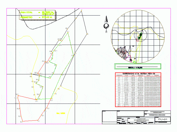
Delimitation Of Space Era Huaro DWG Block for AutoCAD
Look for color differentiation distribution and urban expansion according to the time at which it was created Huaro district. this way we can compare your old. Drawing labels, details, and…

Look for color differentiation distribution and urban expansion according to the time at which it was created Huaro district. this way we can compare your old. Drawing labels, details, and…

Map containing location of parking on the perimeter of the History Center of the City of Queretaro, with names and addresses capacity drawers. Drawing labels, details, and other text information…

CONSISTS IN TOPOGRAPHIC MAP , PERIMETER AND LOCATION OF A LAND FOR AGRICULTURE Drawing labels, details, and other text information extracted from the CAD file (Translated from Spanish): vertex, side,…

PHYSICAL SURVEY OF RUSTIC ESTATE CALLED Drawing labels, details, and other text information extracted from the CAD file (Translated from Spanish): coordinate box, East, north, pto, location plan, scale, vertex,…

This file is the plan of the municipality of Santiago deTolu – Sucre and its city limits; directly extracted from POT Drawing labels, details, and other text information extracted from…
