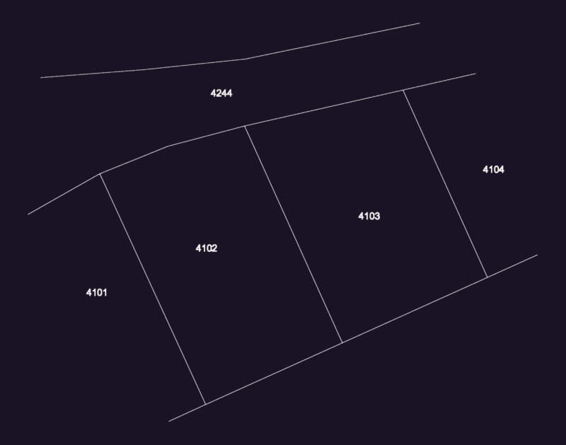
PHYSICAL SURVEY OF RUSTIC ESTATE CALLED
Drawing labels, details, and other text information extracted from the CAD file (Translated from Spanish):
coordinate box, East, north, pto, location plan, scale, vertex, side, dist., angle, East, north, u.t.m coordinates, system, side, distance, vert., ang.int., north, East, u.t.m coordinates, system, ang.int., course, azimuth, area:, area: ha, perimeter: ml, populated center, housing association camay, north pan american highway, eriazo, big pampa, populated center, san jos, populated center, Hill, san felipe canal, reservoir, san felipe canal, district of vegueta, district of vegueta, district of vegueta, district of vegueta, viv, area:, area: ha, perimeter: ml, location plan, scale, perimetric, esc .:, lamina nº:, ubigeo:, indicated, digitization:, scale:, date:, Location, huaura, lime, Department:, province:, district:, place:, flat:, teacher:, students:, professional:, physical lifting of the property, district of vegueta, andres gomez ruben angel, draft:, broken in paradise, total area, perimeter, ml.