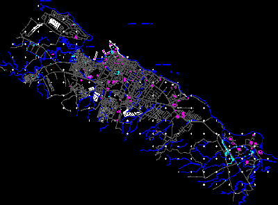
Map Puerto Plata DWG Block for AutoCAD
Map of SanFelipe city in Plata Port – Dominican Republic Drawing labels, details, and other text information extracted from the CAD file (Translated from Spanish): golf course, Rio san, frames,…

Map of SanFelipe city in Plata Port – Dominican Republic Drawing labels, details, and other text information extracted from the CAD file (Translated from Spanish): golf course, Rio san, frames,…

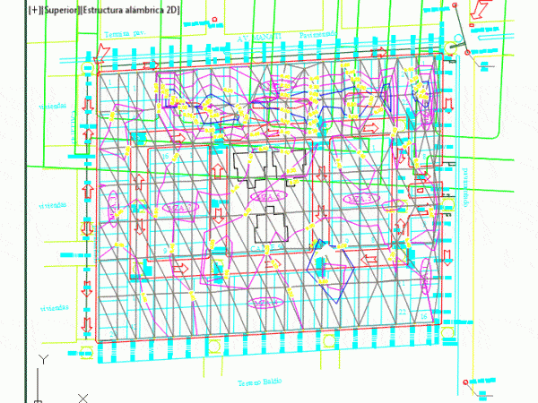
Topographic plan for sewer system . Drawing labels, details, and other text information extracted from the CAD file (Translated from Spanish): Norberto can chablé, Placed in the sense, Drag level,…

Multiport in scale 1:1 in 3D with measures to be able to carried out Drawing labels, details, and other text information extracted from the CAD file (Translated from Spanish): Units,…

Polytechnic Port Dickson Logo Language N/A Drawing Type Block Category Drawing with Autocad Additional Screenshots File Type dwg Materials Measurement Units Footprint Area Building Features Tags autocad, block, DWG, port

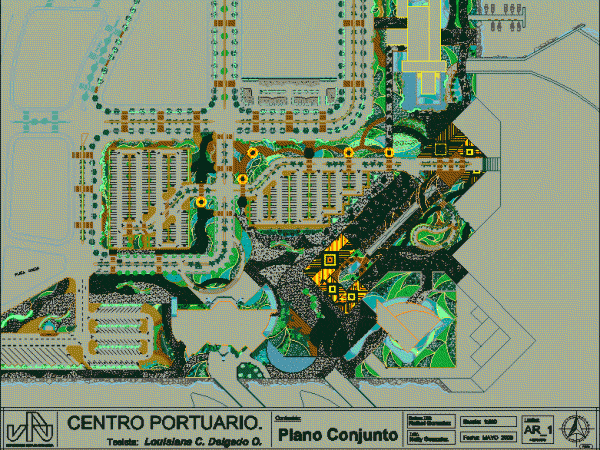
In this design you can see the floor plans, the location of the parking area, the location of the blocks, buildings, different types of floor, dock parks, gardens, and green…
