Arroyo Seco DWG Block for AutoCAD
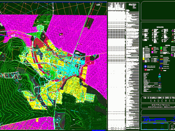
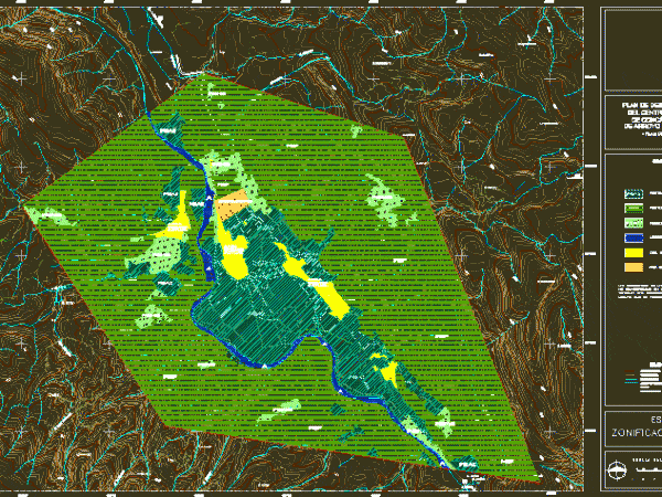
Map of Mexico – Arroyo Seco-Urban Area of the Municipality of Arroyo Seco, Queretaro Drawing labels, details, and other text information extracted from the CAD file (Translated from Spanish): to….

Map of Mexico – Arroyo Seco-Urban Area of the Municipality of Arroyo Seco, Queretaro Drawing labels, details, and other text information extracted from the CAD file (Translated from Spanish): to….

Planimetry Cadereyta Township, State of Queretaro – MEXICO Drawing labels, details, and other text information extracted from the CAD file (Translated from Spanish): mex, towers of more height, restaurants with…

Plan of the City of Columbus, State of Queretaro Drawing labels, details, and other text information extracted from the CAD file (Translated from Spanish): boundary, palmita, quiotes, little lion, qro,…

Surveying Conca Population Center with land use, Arroyo Seco, Queretaro Drawing labels, details, and other text information extracted from the CAD file (Translated from Spanish): conca, Conca River, the alamitos,…

Flatness of the Conca Population Center, City of Arroyo Seco, Queretaro. Drawing labels, details, and other text information extracted from the CAD file (Translated from Spanish): the walnuts, the batteries,…
