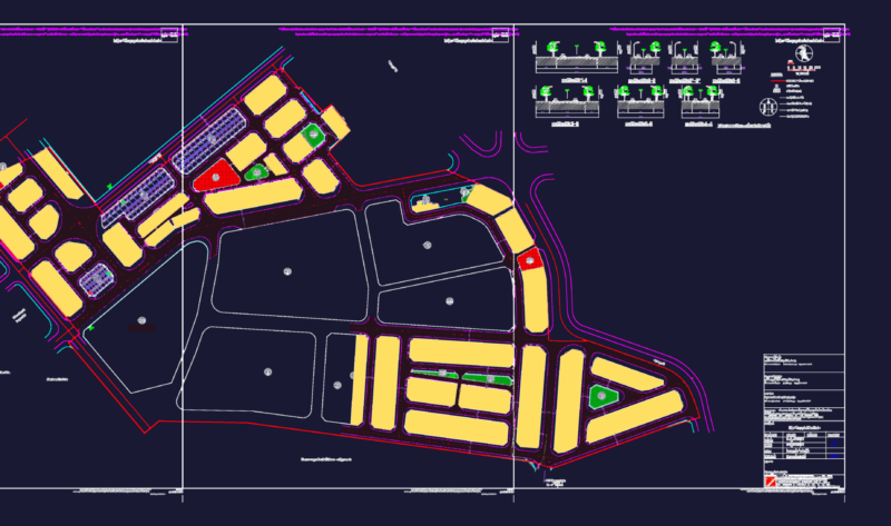
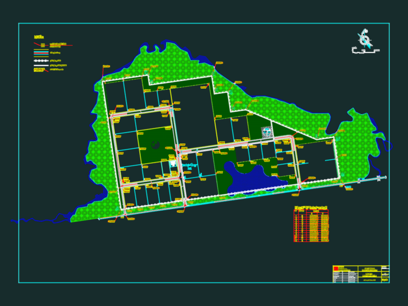
Surveying Conca Population Center with land use, Arroyo Seco, Queretaro
Drawing labels, details, and other text information extracted from the CAD file (Translated from Spanish):
conca, Conca River, the alamitos, white stick table, step of the ash, the bars, San Isidro, step, to. the bars, the cruise, aqueduct, basic, transmission line, urban trace, sidewalk, gap, terrace, aqueduct in operation, runoff, contour lines, master curves, symbology, boundary, urban trace, sidewalk, gap, terrace, aqueduct in operation, runoff, contour lines, master curves, of brook queretaro., of municipality of, urban development plan, of the population center, growing area, body of water, secondary zoning, strategy, plan no., urban master plan, jalpan, mex., dry Creek, mex., January, housing, housing, aquifer, assistance, health equipment service, mortuary equipment service, education equipment service, sport, recreation equipment service, administrative equipment service, trade equipment service, supply, intensive agricultural ecological protection, ecological forest protection, moderate ecological protection, housing, maximum conservation limit, transition threshold