Metropilitana Plane Lima DWG Plan for AutoCAD
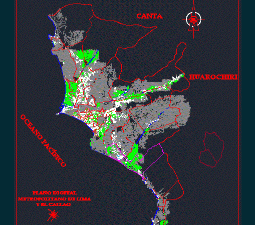
It is a plan of metropolitan Lima which serves for surveying; location plans and zoning; They are located all districts of Lima Drawing labels, details, and other text information extracted…

It is a plan of metropolitan Lima which serves for surveying; location plans and zoning; They are located all districts of Lima Drawing labels, details, and other text information extracted…

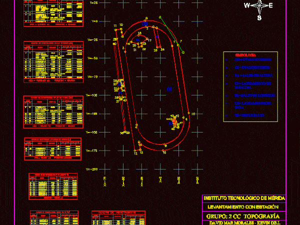
MAP junior Olympic SURVEYING FIELD OF UNIVERSITY BUILDING WITH ITS RESPECTIVE TABLE Drawing labels, details, and other text information extracted from the CAD file (Translated from Galician): side, c o…

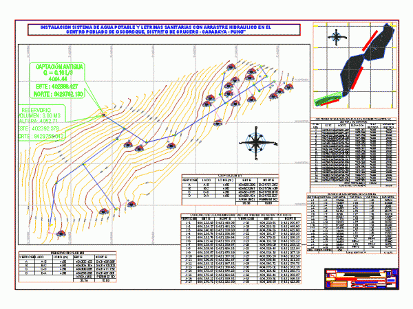
SURVEYING WATER TOPOGRAPHIC MAP Drawing labels, details, and other text information extracted from the CAD file (Translated from Spanish): old catchment, reservoir, district municipality of cruise, scale:, date:, location:, cruise…

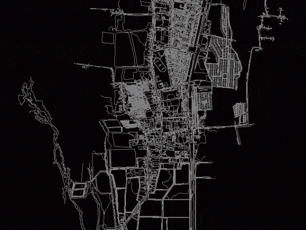
Cadastral Surveying CITY CHULUCANAS; CITY WITH AN AVERAGE OF 15; 000 properties. URBAN CONFIGURATION IS SUBJECT TO morphology IRREGULAR BY THE PRESENCE OF A hill . SYSTEM IS IN AWG…

SURVEYING THE TOWN OF Nancagua; SIXTH REGION OF LIBERTADOR BERNARDO OHIGGINS. STREETS; CERROS; HOUSES. Drawing labels, details, and other text information extracted from the CAD file (Translated from Spanish): way…
