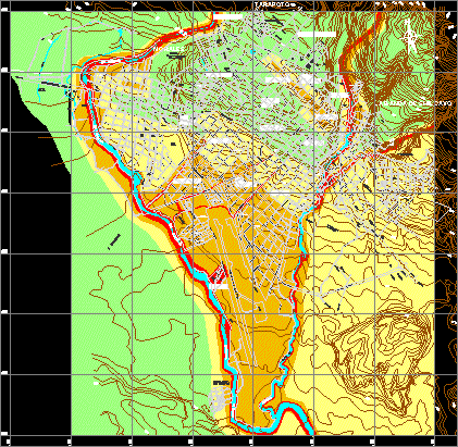
Urban Evolution Of Tarapoto DWG Block for AutoCAD
Urban evolution of Tarapoto 1951 ; 1990 ; 2004 Drawing labels, details, and other text information extracted from the CAD file (Translated from Spanish): sn., sn., pier, san antonio de…

Urban evolution of Tarapoto 1951 ; 1990 ; 2004 Drawing labels, details, and other text information extracted from the CAD file (Translated from Spanish): sn., sn., pier, san antonio de…

Tarapoto plane with urban expansion trend – Present Drawing labels, details, and other text information extracted from the CAD file (Translated from Spanish): sn., n. m., sn., c.p. the palms,…

TARAPOTO – CLIMATE MAP FILE TARAPOTO – SAN MARTIN – PERU Drawing labels, details, and other text information extracted from the CAD file (Translated from Spanish): petroperu, corpac, jr. jose…

geological hazard map of Tarapoto – Peru Drawing labels, details, and other text information extracted from the CAD file (Translated from Spanish): slope areas possible slope slope, areas of presence…

Characterization of-band urban Shilcayo – department of San Martin Tarapoto – Peru Drawing labels, details, and other text information extracted from the CAD file (Translated from Spanish): moral, shilcayo band,…
