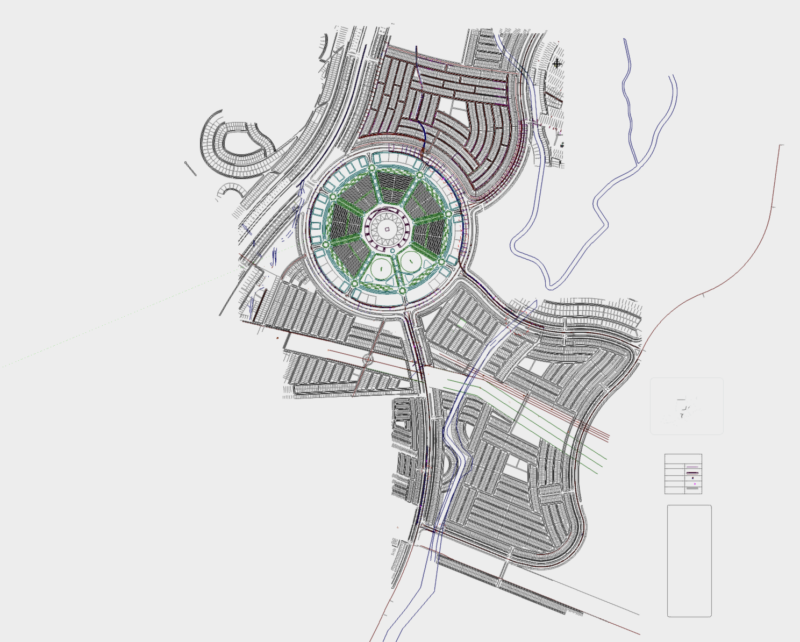
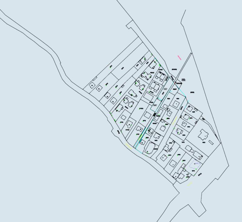
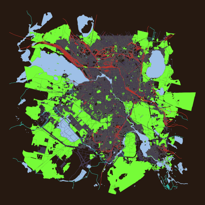
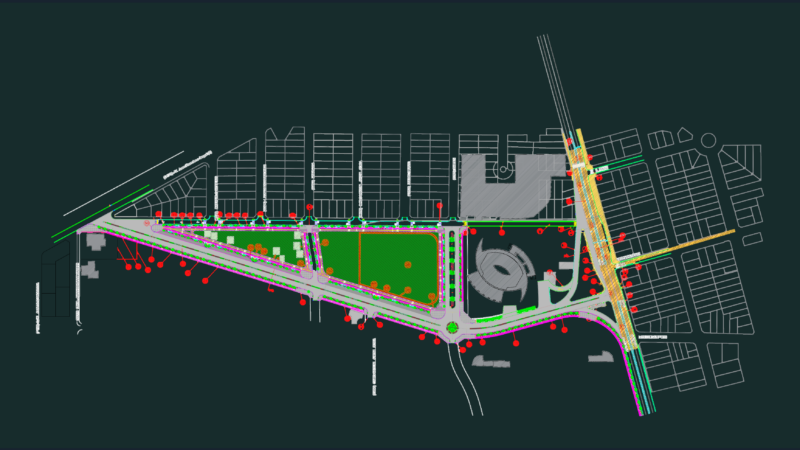
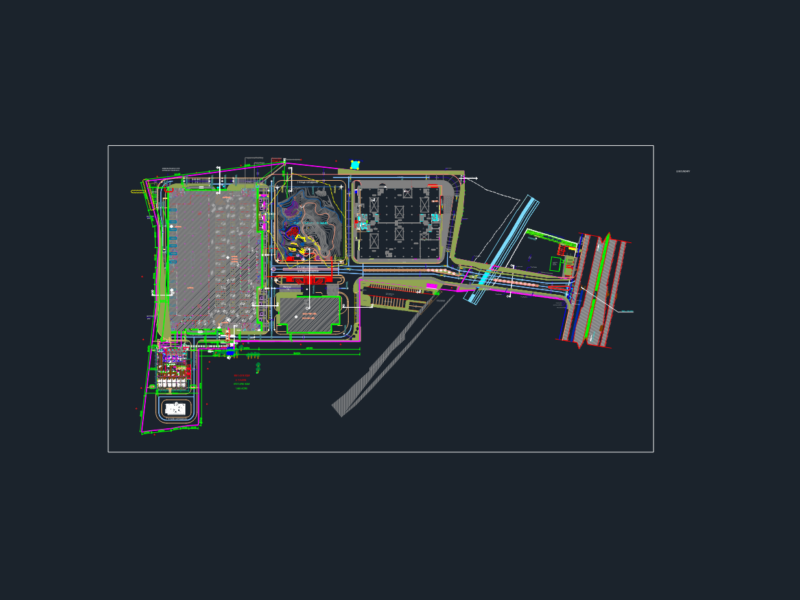
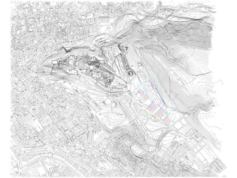
Urban evolution of Tarapoto 1951 ; 1990 ; 2004
Drawing labels, details, and other text information extracted from the CAD file (Translated from Spanish):
sn., sn., pier, san antonio de cumbaza road, the bocatoma, n. m., dust jacket, n. m., police, dinning room, municipal, school, holy field tarapoto, n. m., dust jacket, world, kva, sn., sn., kva, sam, sn., sn., sn., military school, whereabouts of, micros, rice mill, kva, mill the vera, sn., kva, mill the minister, kva, agricultural farming the countryside, kva, fountain faucet, kva, a. caceres, kva, serv. new, sn., sn., sn., sn., sn., Urban area, National College, Urban area, n. m., urban evolution of tarapoto, flat, indeci, scale, sheet, study:, draft:, land use plan disaster mitigation measures of the city of moyobamba, sustainable cities, urban evolution of tarapoto, year, population, extension, gross density