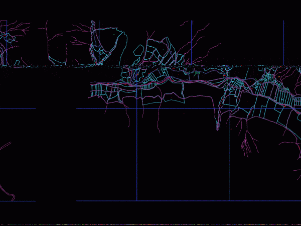
Parcel Map, La Libertad, Santiago De Chuco, Peru DWG Plan for AutoCAD
WITH UTM COORDINATES, CADASTRAL UNITS, REGISTER IOF ALL PREMISES N EXCEL–FROM SANTIAGO DE CHUCO (KM 0 000) TO MOLLEPATA (KM 80 688). COMPLETE CITY MAPS OF PLAN STGO DE CHUCO,…

WITH UTM COORDINATES, CADASTRAL UNITS, REGISTER IOF ALL PREMISES N EXCEL–FROM SANTIAGO DE CHUCO (KM 0 000) TO MOLLEPATA (KM 80 688). COMPLETE CITY MAPS OF PLAN STGO DE CHUCO,…

PLANNING HAS 2 – Ground Drawing labels, details, and other text information extracted from the CAD file (Translated from Spanish): office, housekeeper, cleaning, washing of, vegetable preparation, digging, trash, dry…

Inf plane. COFOPRI cadastral parcels consisting of updated cadastral units Drawing labels, details, and other text information extracted from the CAD file (Translated from Spanish): road pedregozo jacuan, zanjon jecuan…

LOCATION MAP AVELLANEDA WITH INSTITUTIONAL BUILDINGS – Kindergartens – Schools – HEALTH UNITS – works planned in 2015. Drawing labels, details, and other text information extracted from the CAD file…

Distribution and proposed air conditioning units in a building. It contains the entire project, but has some installation details and symbolism Drawing labels, details, and other text information extracted from…
