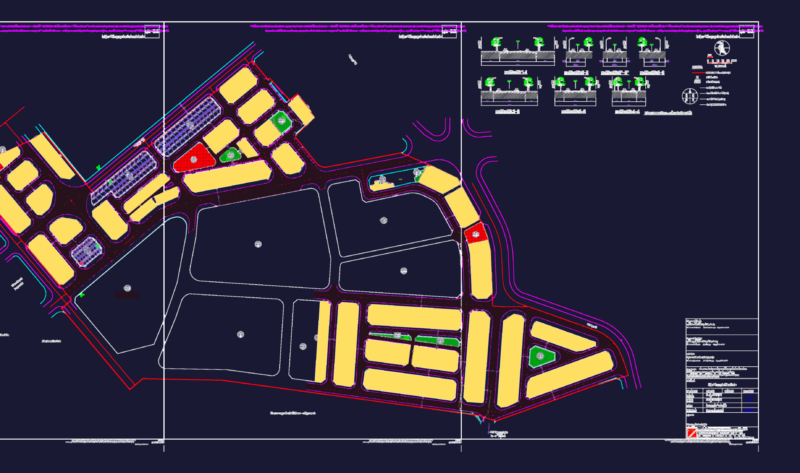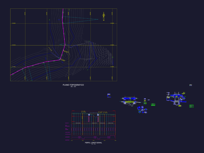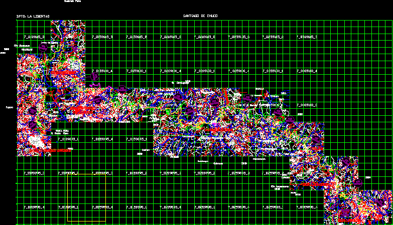
WITH UTM COORDINATES, CADASTRAL UNITS, REGISTER IOF ALL PREMISES N EXCEL–FROM SANTIAGO DE CHUCO (KM 0 000) TO MOLLEPATA (KM 80 688). COMPLETE CITY MAPS OF PLAN STGO DE CHUCO, CACHICADAN, SANTA CRUZ DE CHUCA, ANGASMARCA, TULPO, MOLLEBAMBA Y MOLLEPATA.
Drawing labels, details, and other text information extracted from the CAD file (Translated from Spanish):
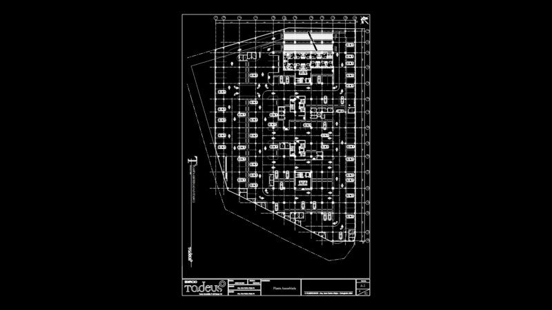
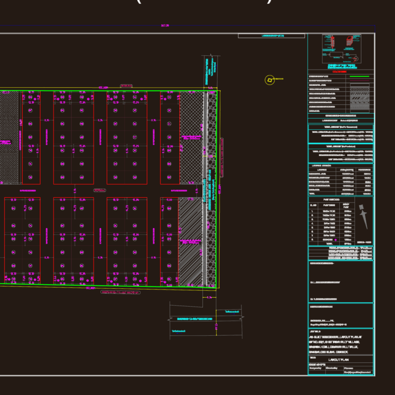
tulip, end, section, area affected, legend, property code cofopri, houses buildings, existing road, road axle, affected, construction area, n.m., apartment: la libertad, santiago de chuco