OcoÑA Base – Arequipa DWG Block for AutoCAD
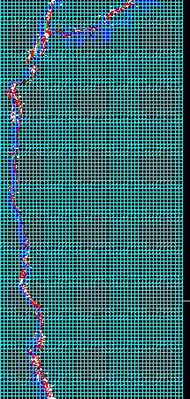
Base of Ocoña cadaster annex with coordinates UTM and cadaster land codde Raw text data extracted from CAD file: Language N/A Drawing Type Block Category City Plans Additional Screenshots File…

Base of Ocoña cadaster annex with coordinates UTM and cadaster land codde Raw text data extracted from CAD file: Language N/A Drawing Type Block Category City Plans Additional Screenshots File…

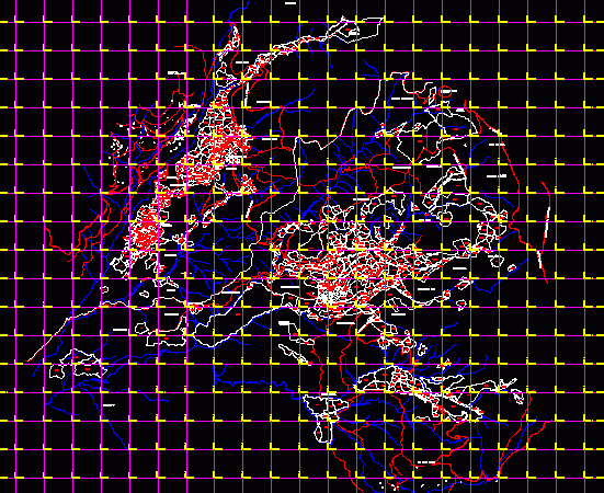
Base district Yanaquihua Arequipa in coordinates UTM and general cadaster Drawing labels, details, and other text information extracted from the CAD file (Translated from Spanish): broken totora, channel, broken caðipaco,…

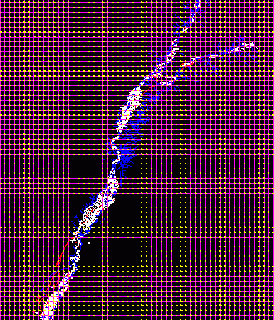
Base didtrict Yauca Arequipa in coordinates UTM and general cadaster Drawing labels, details, and other text information extracted from the CAD file (Translated from Spanish): z.l., hda. San Francisco, z.l.,…

Cadastral base of Atiquipa. Mapped with coordinates UTM – – Universal Transversal Mercator. Results of Peru’s combined Special Project of Entitling Rural Lands and Property Records and the Agency for…

Cadastral base of Siguas Valley. Mapped with coordinates UTM – – Universal Transversal Mercator. Results of Peru’s combined Special Project of Entitling Rural Lands and Property Records and the Agency…
