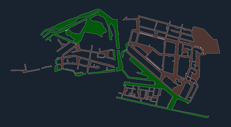
Cadastral base of Atiquipa. Mapped with coordinates UTM – – Universal Transversal Mercator. Results of Peru’s combined Special Project of Entitling Rural Lands and Property Records and the Agency for Formalization of Informal Ownership – – COFOPRI – PETT. PETT COFOPRI.
Drawing labels, details, and other text information extracted from the CAD file (Translated from Spanish):
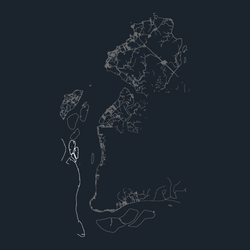
jihuay beach, precincts, peasant community of atiquipa, Hill, Mocha skirt, precincts, district of atiquipa, Panamerican’s highway, arequipa, lime, santa rosa village, atiquipa road, peasant community, nose, the band, precincts, hill chacaipara, hill chingo, eagle stone hill, district of atiquipa, rally, loma san francisco, loma huaranga, loma caspichico, patacho, path, farmland, of the atiquipa community, loma cuculi, path, district of atiquipa, road jihuay beach, town of atiquipa, caupiloma loma, hill tarillo, Cerro Cahuamarca, hill potrero boy, chococo road, loma tarillo, loma apachimayo, knot, i closed the slope of infiernillo, hill shoemaker, cracked, tingo’s creek, broken parcanajon, potrerochico broken, broken cuculi, broken hearted, irrigation ditch, channel preinca, ravine, label, irrigation canal la pampa, band channel, channel, the village, Related searches, broken lucumo, broken the lucmo, ravine, Pacific Ocean, broken jazmin, broken juana, tunilla, Caspian creek, broken patachico, broken san francisco, broken apachiyamo, broken chococo, changua ravine, railing