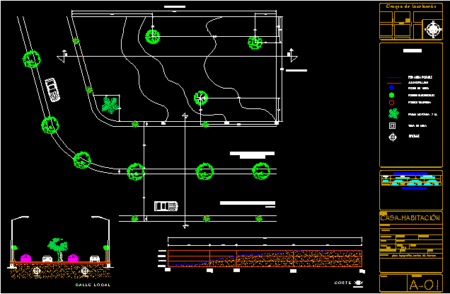
Topographic Map DWG Section for AutoCAD
topographic map with a cross section which shows the gap that is 3 meters and also brings a cut of the street which is 4 lanes within the property
Drawing labels, details, and other text information extracted from the CAD file (Translated from Spanish):
adjoining, avenue kids heroes of independence, drainage, water, street, street map, home-room, flat key :, work :, drawing :, scale :, project :, location :, dimensions :, mtrs, date :, av. Miguel Hidalgo, Av. santana, av. juarez, summary of areas, table of coefficients, area, land, coefficient of, occupation of land, land use, soil absorption, percentage, key, use, housing, density, owner :, post code., municipality :, delegation:, expert :, professional identity :, signature :, content :, stamps :, topographical map, land cuts, electricity poles, telephony poles, visitor wells, drinking water network, sewerage, symbology, water intake, drainage
Raw text data extracted from CAD file:
| Language | Spanish |
| Drawing Type | Section |
| Category | Handbooks & Manuals |
| Additional Screenshots |
 |
| File Type | dwg |
| Materials | Other |
| Measurement Units | Metric |
| Footprint Area | |
| Building Features | Deck / Patio |
| Tags | autocad, cross, Cut, DWG, map, meters, section, shows, street, topographic |
