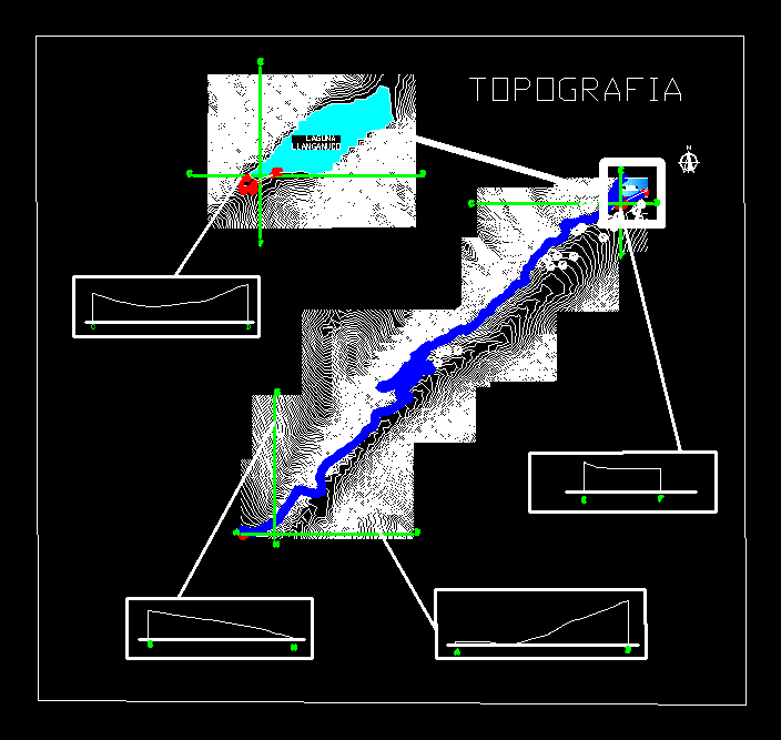
Topographic map contains slopes and heights of the Huascaran National Park located in Huaraz; Province Ancash – Peru
Drawing labels, details, and other text information extracted from the CAD file (Translated from Spanish):
legend, road in gauge, esplanades, cut, location, lagoon llanganuco, lagoon llanganuco, topography, beginnings snowed huacaran, beginnings snowed pisco