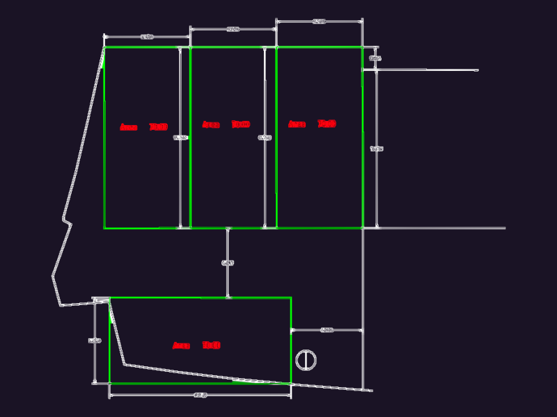
topographic survey with level curves & spot elevations. includes triangulated mesh (MALHATRI) and property boundary limits
Topographic Site Survey with Spot Elevations
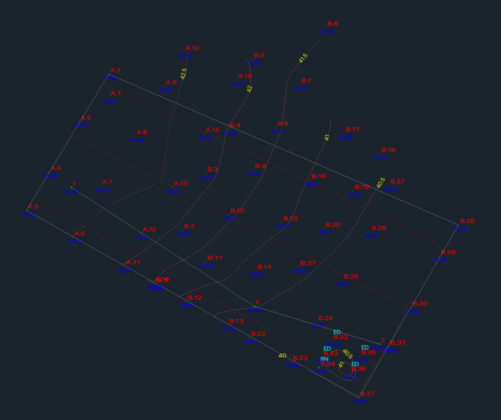
topographic survey with level curves & spot elevations. includes triangulated mesh (MALHATRI) and property boundary limits