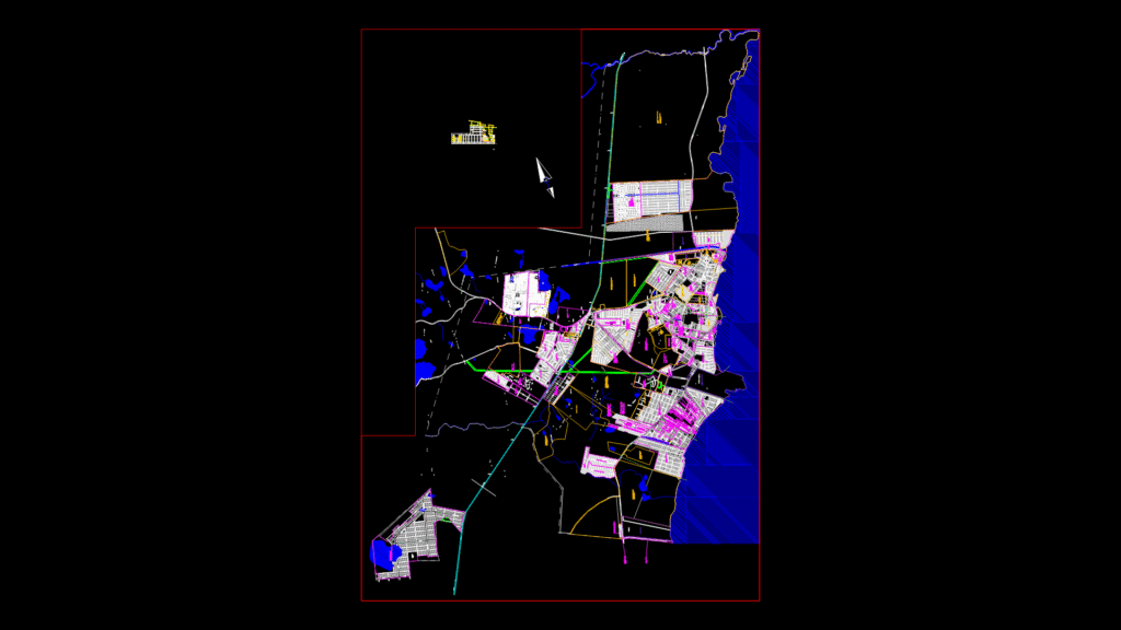
Comprehensive Municipal Urban Plan Overview
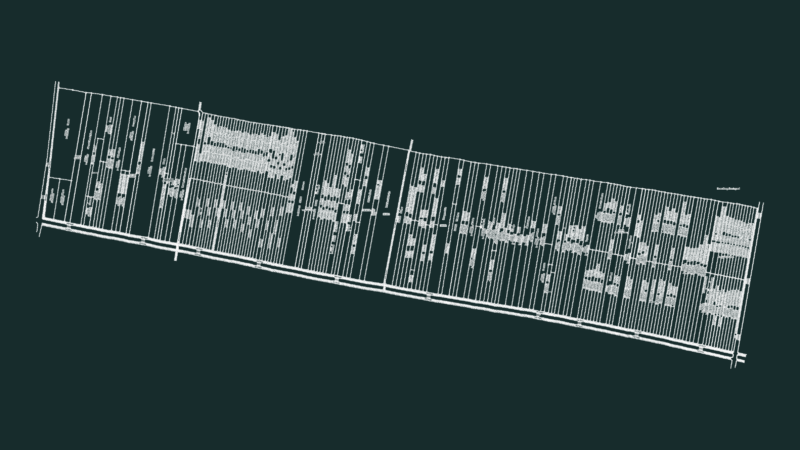
This drawing represents the official legal city map (‘Mapa Legal’) of Guaíba municipality in Rio Grande do Sul, Brazil, drawn at 1:10,000 scale. The plan displays the complete urban infrastructure including:
Street Network: The map details a comprehensive street network with over 500 named streets, avenues, and roads organized in a primarily grid pattern. Major thoroughfares include Av. Lupicinio Rodrigues, Av. Nestor de Moura Jardim, Av. Beira Rio and BR-116 highway.
Natural Features:
– Eastern boundary follows Lago Guaíba shoreline (blue area)
– Multiple waterways including Arroio do Conde and Arroio Passo Fundo
– Topographic elements with contour lines at 5m intervals (ranging from 5m to 117m elevations)
– Wetland and green areas designated throughout the municipality
Urban Zones and Public Facilities:
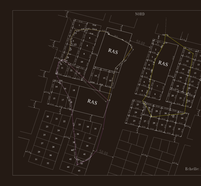
– Clearly defined urban perimeter with neighborhood boundaries
– Institutional areas including schools (Escola Estadual Gomes Jardim, CIEP, etc.)
– Hospital Municipal, Prefeitura Municipal, Forum
– Public squares and parks (Parque Municipal Rui Coelho Gonçalves)
– Sports facilities (Centro Esportivo SESI)
The map incorporates both established and planned development areas, with projected streets marked as “Rua Projetada.” Several detailed insets show subdivision layouts with lot dimensions and areas in square meters, including development phases. The document serves as the official planning reference for municipal zoning, infrastructure development, and property registration.