ADVERTISEMENT

ADVERTISEMENT
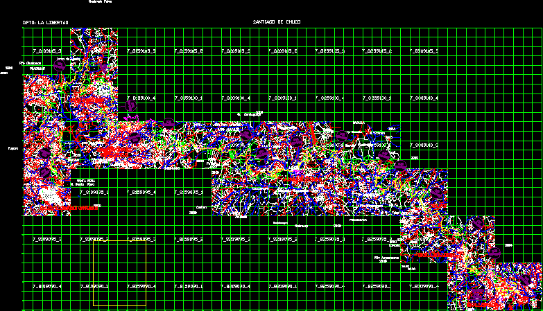
Parcel Map, La Libertad, Santiago De Chuco, Peru DWG Plan for AutoCAD
WITH UTM COORDINATES, CADASTRAL UNITS, REGISTER IOF ALL PREMISES N EXCEL–FROM SANTIAGO DE CHUCO (KM 0 000) TO MOLLEPATA (KM 80 688). COMPLETE CITY MAPS OF PLAN STGO DE CHUCO, CACHICADAN, SANTA CRUZ DE CHUCA, ANGASMARCA, TULPO, MOLLEBAMBA Y MOLLEPATA.
Drawing labels, details, and other text information extracted from the CAD file (Translated from Spanish):
tulip, end, section, area affected, legend, property code cofopri, houses buildings, existing road, road axle, affected, construction area, n.m., apartment: la libertad, santiago de chuco
Raw text data extracted from CAD file:
| Language | Spanish |
| Drawing Type | Plan |
| Category | City Plans |
| Additional Screenshots |
 |
| File Type | dwg |
| Materials | |
| Measurement Units | |
| Footprint Area | |
| Building Features | Car Parking Lot |
| Tags | autocad, beabsicht, borough level, cadastral, coordinates, de, DWG, excel, la, libertad, map, parcel, PERU, plan, political map, politische landkarte, premises, proposed urban, register, road design, santiago, stadtplanung, straßenplanung, units, urban design, urban plan, utm, zoning |
ADVERTISEMENT
