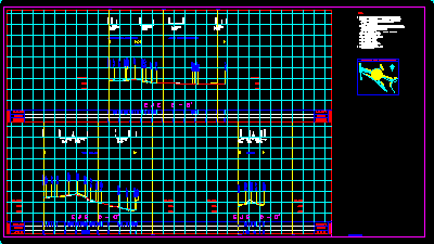
Profiles DWG Section for AutoCAD
Profiles intersection peripheral and Vallejo in Mexuco City
Drawing labels, details, and other text information extracted from the CAD file (Translated from Spanish):
localization map, Tequesquinahuac, av. Ceylan, Peripheral north arc, central axis, Calz Valley, I used to, av. Sta. Cecilia, av. blizzard, av. Tlalnepantla tenayuca, Subgrade, Elevations, Subgrade, Tenayuca aqueduct, Geometric project, Notes:, With this one located on steel nail, Garrison east of the street with a distance of mts., With this nailed steel nail in, General plan of stroke., do not., Plant cross-sections., do not., The elevations are referred to the following level banks:, This plan is complemented by:, All elevations should add mts. for, The elevations are referred to the following level banks:, Refer to the mean sea level., To the north of the crossing with the calz. Vallejo, do not., To the north of the junction with the av. Tenayuca aqueduct, In garrison east street mts. of the, Subgrade, Elevations, Subgrade, Elevations, Tenayuca aqueduct, Cuauhtemoc, do not., Level sections plant., Calz Valley, This annular plane replaces the plane:, do not.
Raw text data extracted from CAD file:
| Language | Spanish |
| Drawing Type | Section |
| Category | Water Sewage & Electricity Infrastructure |
| Additional Screenshots |
 |
| File Type | dwg |
| Materials | Steel |
| Measurement Units | |
| Footprint Area | |
| Building Features | Car Parking Lot |
| Tags | autocad, city, distribution, DWG, fornecimento de água, intersection, kläranlage, l'approvisionnement en eau, profiles, section, supply, treatment plant, wasserversorgung, water |
