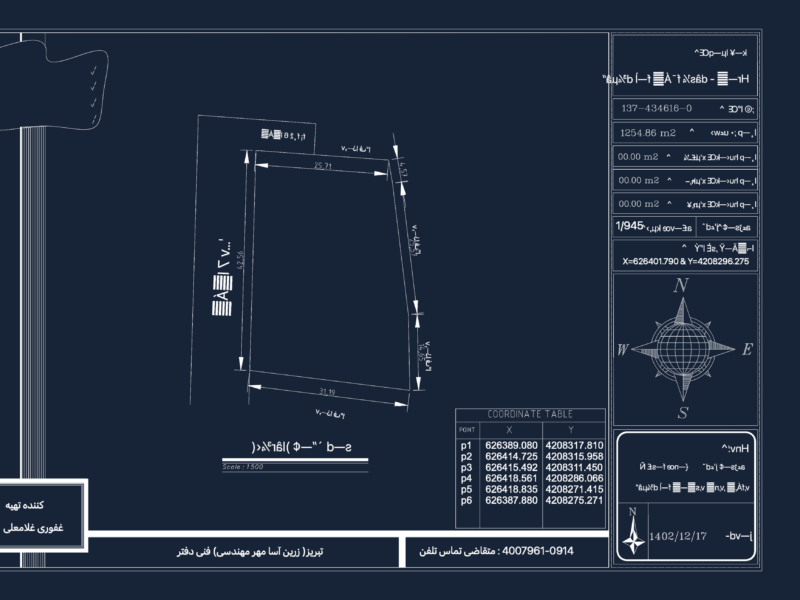
Topo-geodetic base plan for site development at 1:500 scale. i’ve included the existing utilities (water, telco, power) & property boundaries from a may 2023 survey. elevations in EH-2000 and coords in L-EST 97, works for site prep or planning.
1:500 Topo Geodetic Base Plan DWG Site Survey