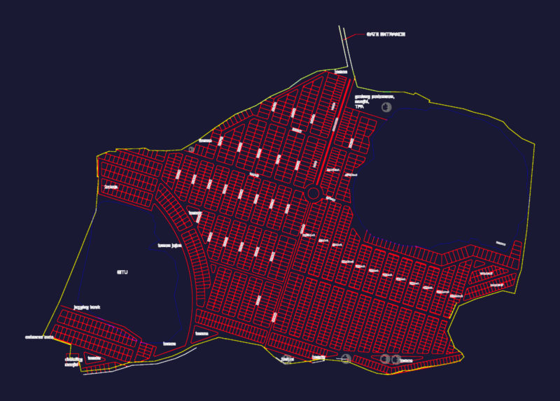
Analysis current state of the Cusco region for the airport project; view of the main road and main axes points of inter – relationship
Drawing labels, details, and other text information extracted from the CAD file (Translated from Spanish):
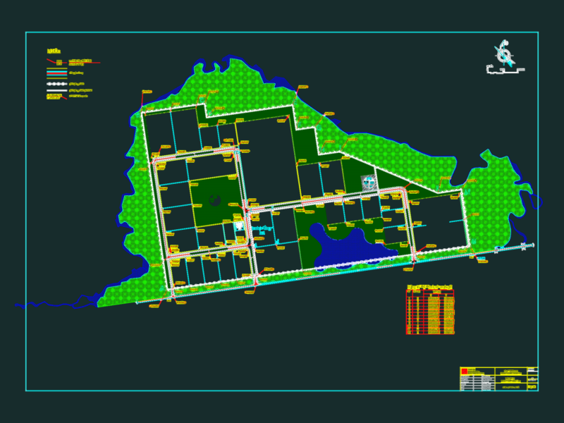
areas, type of occupation, consolidated informal occupation, informal peripheral occupation on slopes, legend, historical centers, formal occupation in the valley floor, has., via ferrea, huatanay river, via inter regional, airport, to machupicchu and quillabamba, to abancay , a paruro, a pisac, a rondocan, a puno and arequipa, provincial limit, district boundary, polarizing nucleus of commercial activities and secondary services of commerce and services administrative centers main administrative centers secondary industrial areas, main road of structuring, corridor commercial, of the urban space, sacsayhuaman archaeological park, populated center in valley bottom